Lucky Peak
 How long do I need to wear this stupid leash?
The first day that we were back from our trip to Europe, I took Abby hiking up at Bogus Basin. She did really well, so I decided to give her a tougher challenge the next day. I wanted to try hiking up Lucky Peak all the way from the valley. I have been wanting to do it for about the past year but somehow never got around to it. This time we would have a good opportunity and it would give Abby a chance to do a longer, harder hike.
I was up even earlier today than the day before so Abby and I got a great start. We were on the trail at 7 am. This would be good since we would be lower than the day before, so hopefully we would beat the worst heat of the day. The forecast also gave a chance of afternoon thundershowers and this would give us a chance to beat any bad weather.
We started from the Homestead Trailhead, east of Boise just past Table Rock and Warm Springs Golf Course. It's part of the Boise Ridge to Rivers system, so there was a nice trail right from the start. There were also signs about keeping dogs on leash, so Abby had to at least start out walking on the leash. It was a week day and early, so almost no one was on the trail. One woman on a mountain bike passed us going up after about fifteen minutes, but I didn't see any other hikers or bikers for the rest of the day. After half an hour on leash I figured that we were clear and let her off.
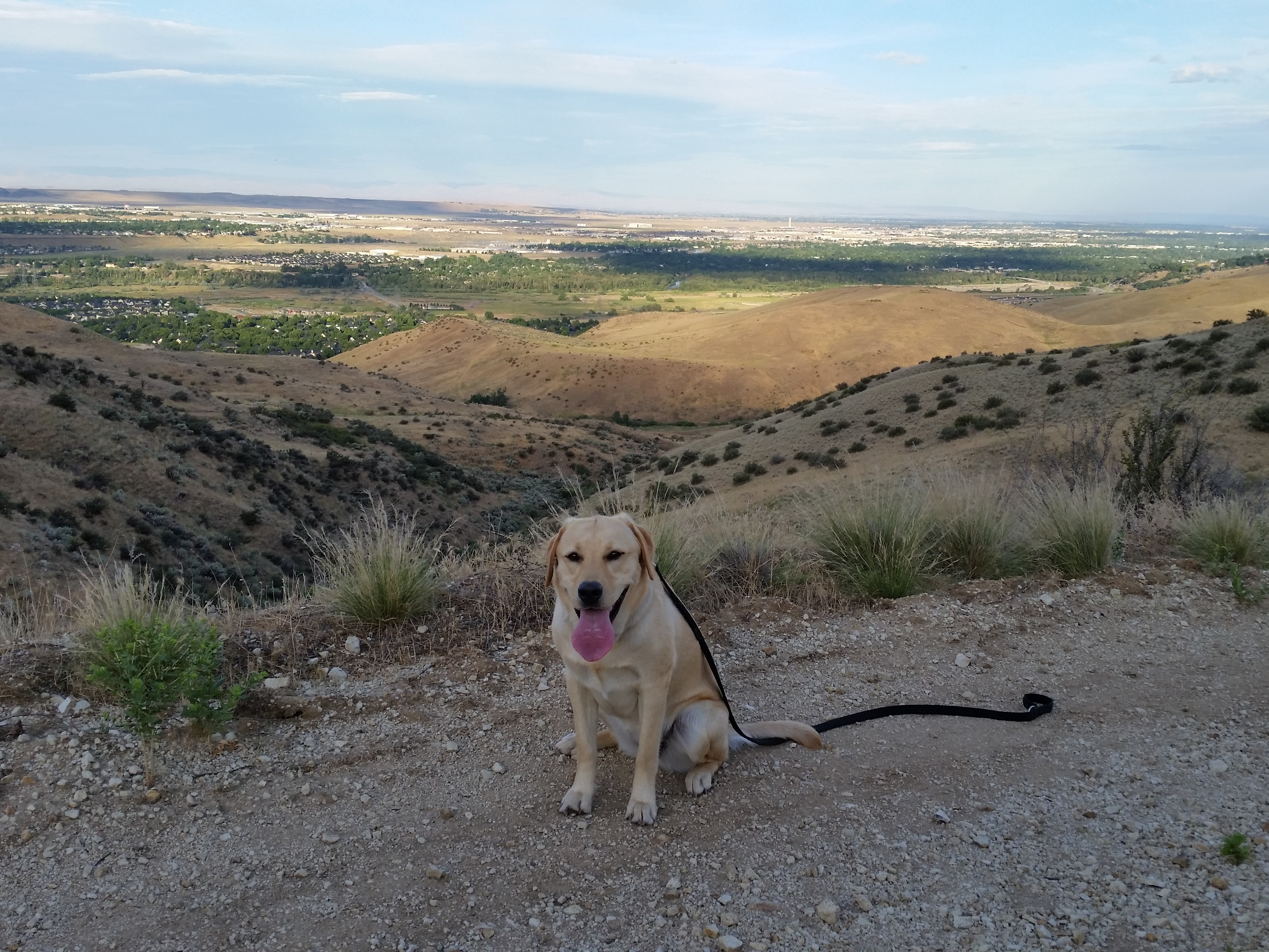
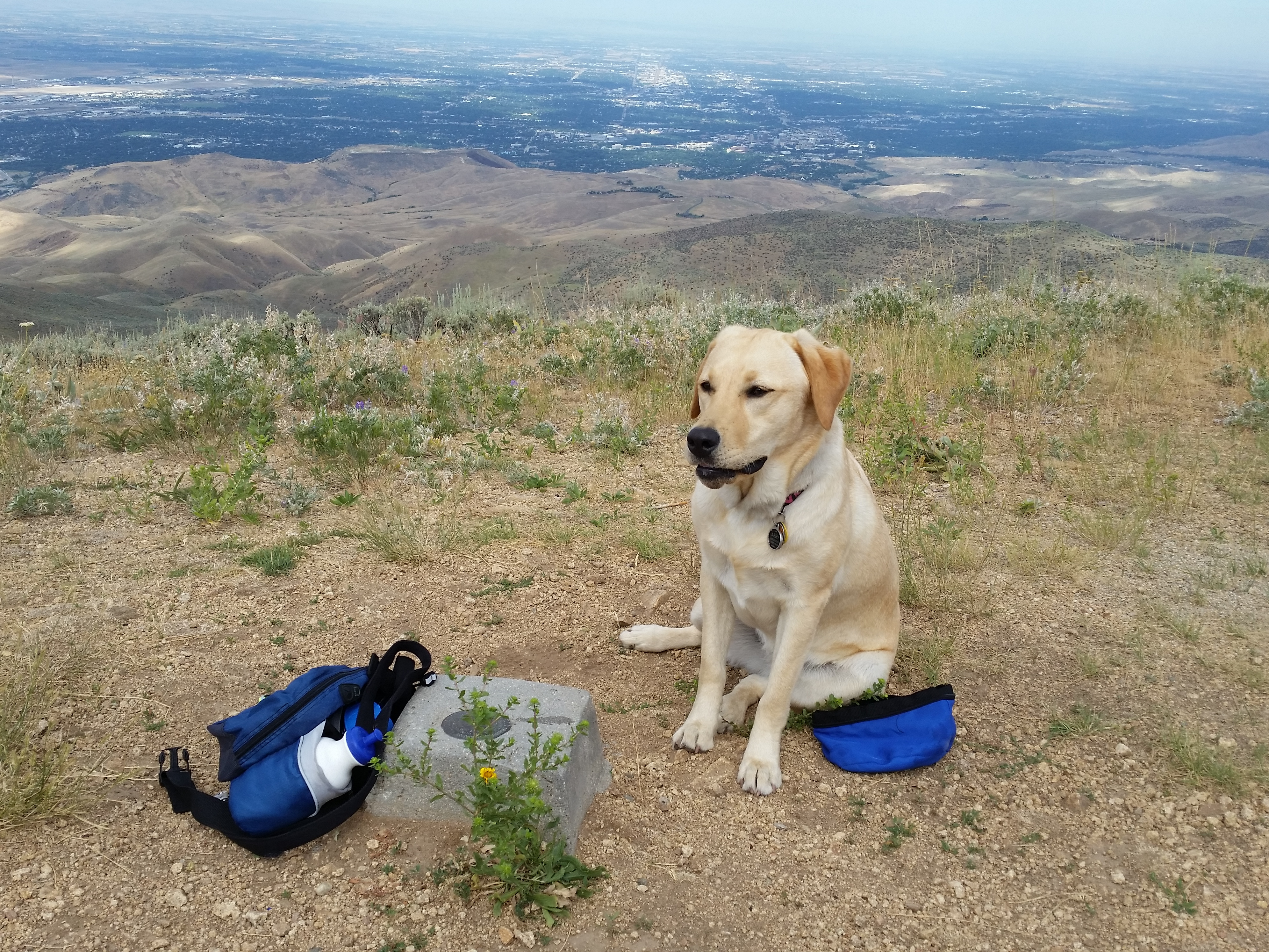 Abby on the summit of Lucky Peak
Most of the way we were hiking on dirt roads, so the grade was moderate. But there was a lot of elevation to gain. I just hiked slowly. I decided to use the GPS feature in my phone, with an app called MapMyHike, to keep track of our progress. I had used it only once before last season and it seemed to work well. I decided that I should be a little more high tech and start using it, since I do hike a lot. That way at the end I would know exactly how far we hiked, how long it took, and how much elevation we gained.
After the first hour we had climbed out of the valley that we started in and were hiking along a ridgline. We had a nice view of Boise and the whole valley. The hiking was hard work but was pleasant. After about two hours we crested a rise and I could finally see the top of Lucky Peak. It was a still a long way off and a lot higher. We just kept going. Everything seemed ok till we got to the base of the final slope to the top. Instead of going straight up, the road swung to the left of the peak and contoured behind it onto the west and then the northwest slope. It finally went into forest (which meant that I couldn't see where it was going) and then dropped quite a way. Now I was wondering if it actually went to the top, or if it just went down the other side. I thought about just cutting up the slope, but it was brushy enough that it didn't look like a good idea. I decided to keep going until the saddle between Lucky Peak and the next mountain. At that point I hoped it would be clear if the road went down the other side or went up the ridge to the summit.
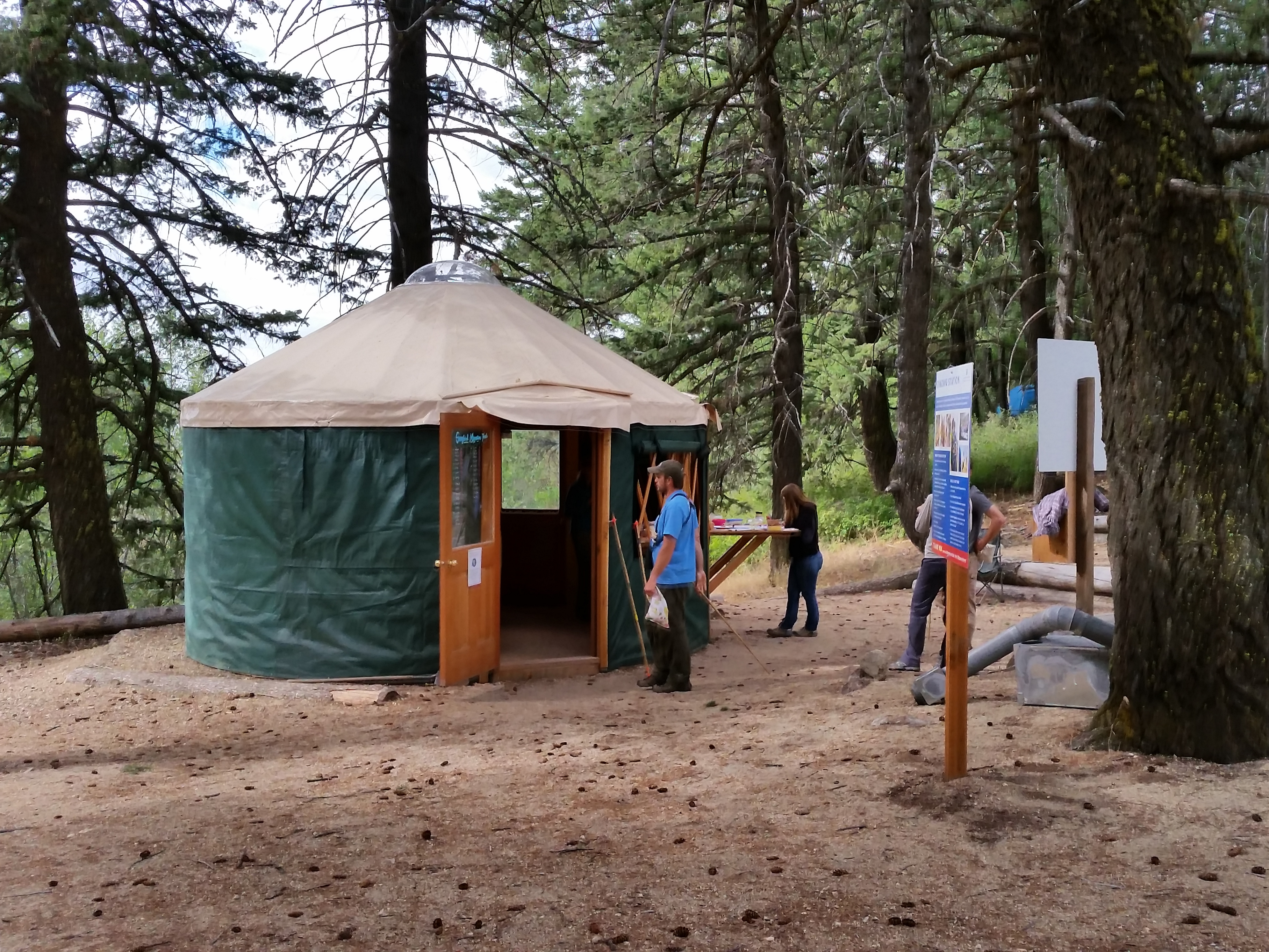 Bird observatory near the top of Lucky Peak
And it was. At the saddle the road turned sharply up towards the top of Lucky Peak. Then we passed a sign for a bird observatory, so I put Abby back on the leash. In a few hundred yards I came to an area with several cars parked and some tents set up. As I walked through there was a woman going past with a small bird in her hand. She asked if I wanted to see what they were doing with their bird-banding project. Turns out that there were a number of graduate students working there catching birds, tagging and documenting them, and then releasing them. She said that they had been working there since 1993 to track bird migrations. It was interesting stuff, but eventually I excused Abby and myself so we could finally get to the top of the mountain. It only took us another five minutes. The very top was fenced off for a number of antennas. Not exactly a wilderness summit. But we sat down with a great view of the valley and had our lunch. Lucky Peak is quite prominent from most points in the valley, which translates to a great view from the top.
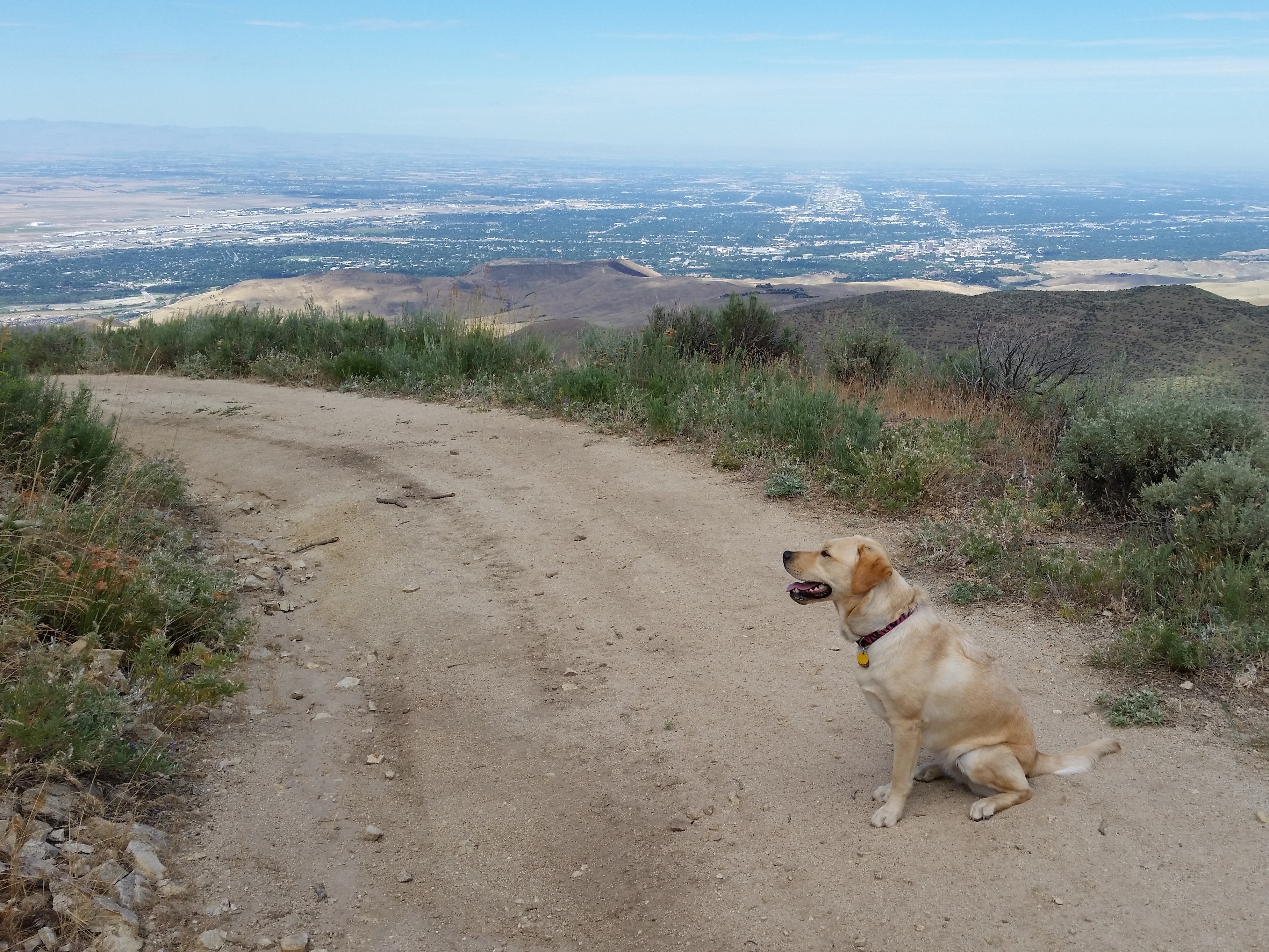 Abby waits patiently for me on the way down
Then it was time to head down. As we passed through the bird observatory again, I chatted briefly with another grad student working there. He said that he lived in town, but camped there all week to avoid an hour and a half drive each way on a very rough dirt road. Although the work looked fascinating, it actually sounded like a kind of a boring way to spend the summer. I guess some field biologists have it worse.
Usually I am much faster going back but I was tired this time so I took it easy on the downhill. Abby seemed to be tired too. It took us almost as much time to get down as it did to get up. Near the end Abby even stopped once or twice and didn't want to go any further. But finally we made it back to the car. The GPS said it had been 11.97 miles (what! not twelve miles!) and 3075 feet of elevation gain. It took us just under five and a half hours of hiking. It was a good hike but it wore Abby out. She slept in the car all the way home, and most of the rest of the day. The next morning she didn't even want to go for her regular walk in the neighborhood. She wanted a rest day! But she had earned it.
