Tim's Hikes #4: The Wave
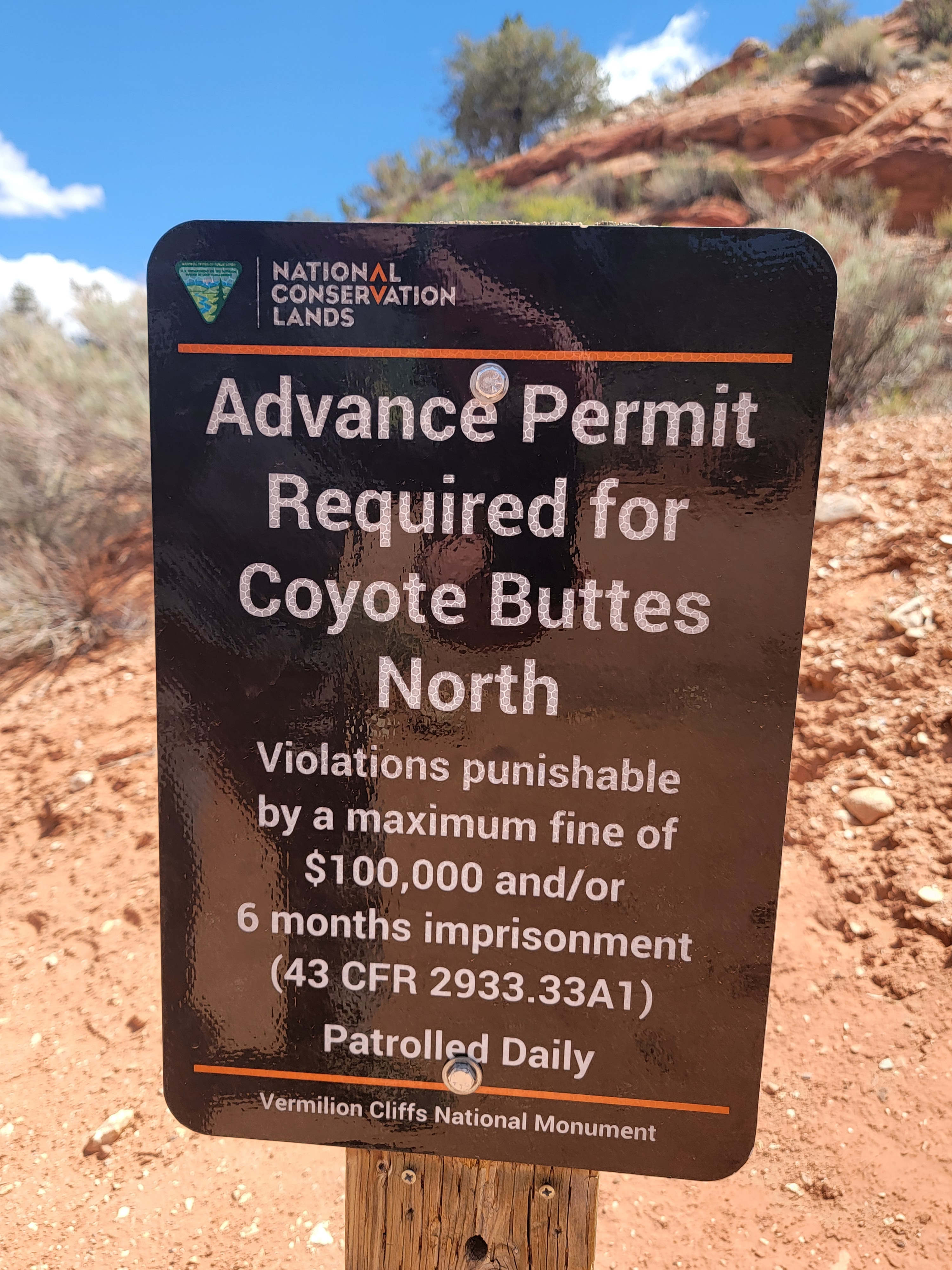 They mean business about getting a permit
The Wave is a unique geological feature located near the Arizona/Utah border. It's hidden on the slopes of the Coyote Buttes, in the Paria Canyon-Vermillion Cliffs Wilderness. It was almost unknown until 2009 when Microsoft included a photograph of The Wave as one of its wallpaper images for Windows 7. That made it such a popular destination that the BLM (Bureau of Land Management) decided to put a permit system in place that severely restricts the number of visitors to the area. There are only two ways to get a permit.
You can enter the Advanced Lottery online at the Recreation.gov website. You apply four months in advance and get to pick up to three dates. A drawing is held at the end of the month and permits for 48 people or 12 groups (whichever comes first) are granted for each day.
The other option is the Daily Lottery. You can apply online for a permit two days in advance. To apply, you must be in the geofence area, which includes most towns within 50-70 miles of The Wave. You can only apply on your mobile phone and location services need to be turned on to verify that you are within the geofence area. The daily drawing is held at 7 pm every evening. Only 16 people or 4 groups are given permits. If you win, you need to go to a briefing held at the BLM office in Kanab the next morning, to pay your fee and pick up your permit for the following day.
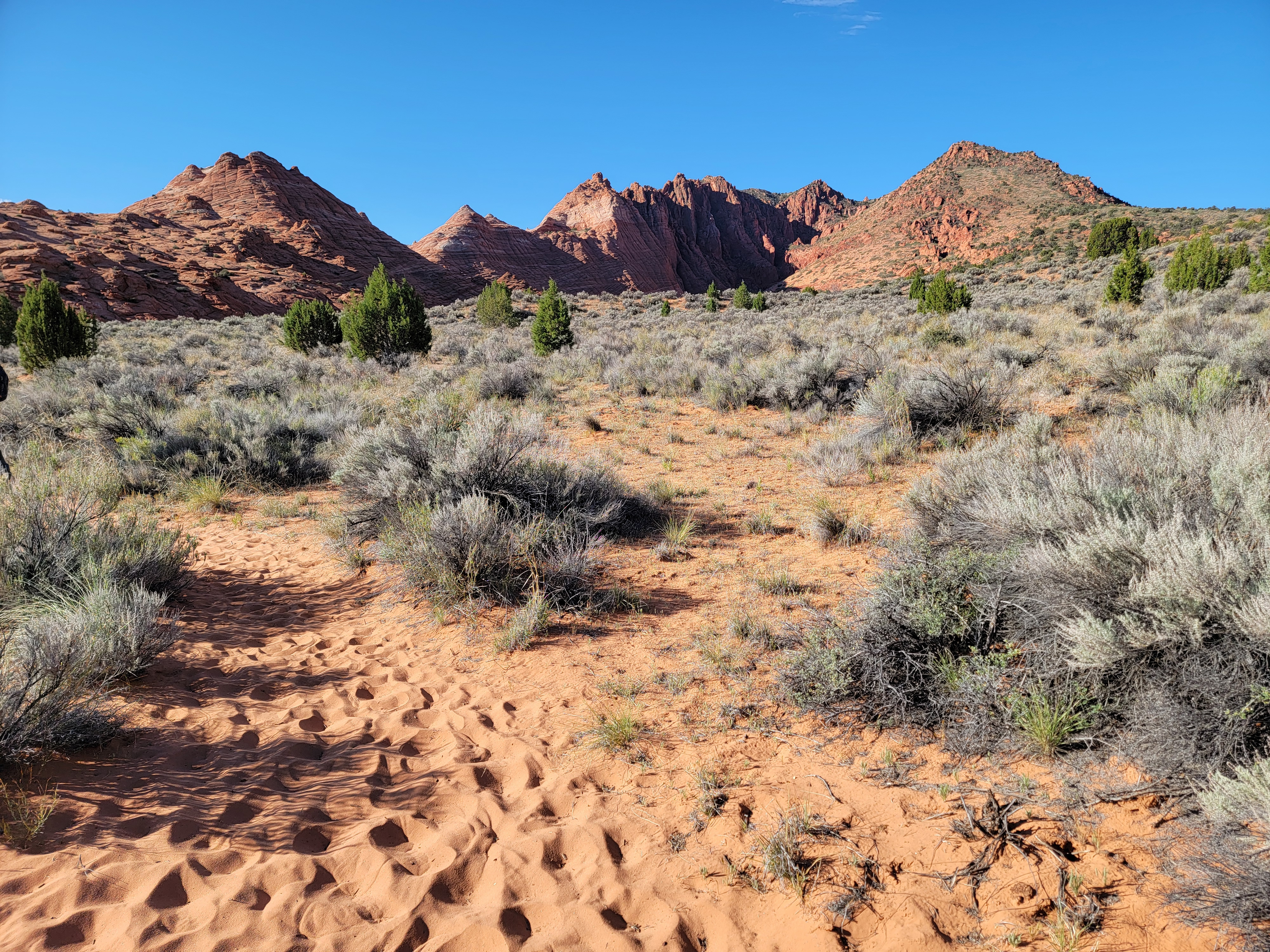 Following the sandy hiker's track
Over 200,000 people enter the lottery each year. The chances of winning, as of 2025, were 1-3% for the Advanced Lottery, and 15-30% for the Daily Lottery. Of course, it varies based on the dates that you select. Obviously weekends are harder to get than weekdays. April, May, September and October have the best weather (not too hot - not too cold) so they have the poorest odds. It used to be even tougher. Before 2021, only 20 people a day were given permits.
Because the permits are so hard to get, some people have taken unreasonable chances after obtaining one. During the summer, it can get extremely hot in the Northern Arizon/Southern Utah desert where The Wave is located. There were three heat related deaths among hikers to The Wave in 2013. Another hiker died of heat exhaustion in 2018 while returning from The Wave. The area is very remote. There are no water sources. There is no cell phone service. There is no maintained trail. Most of the route is cross country. In July and August the hike is a serious proposition because of the extreme heat.
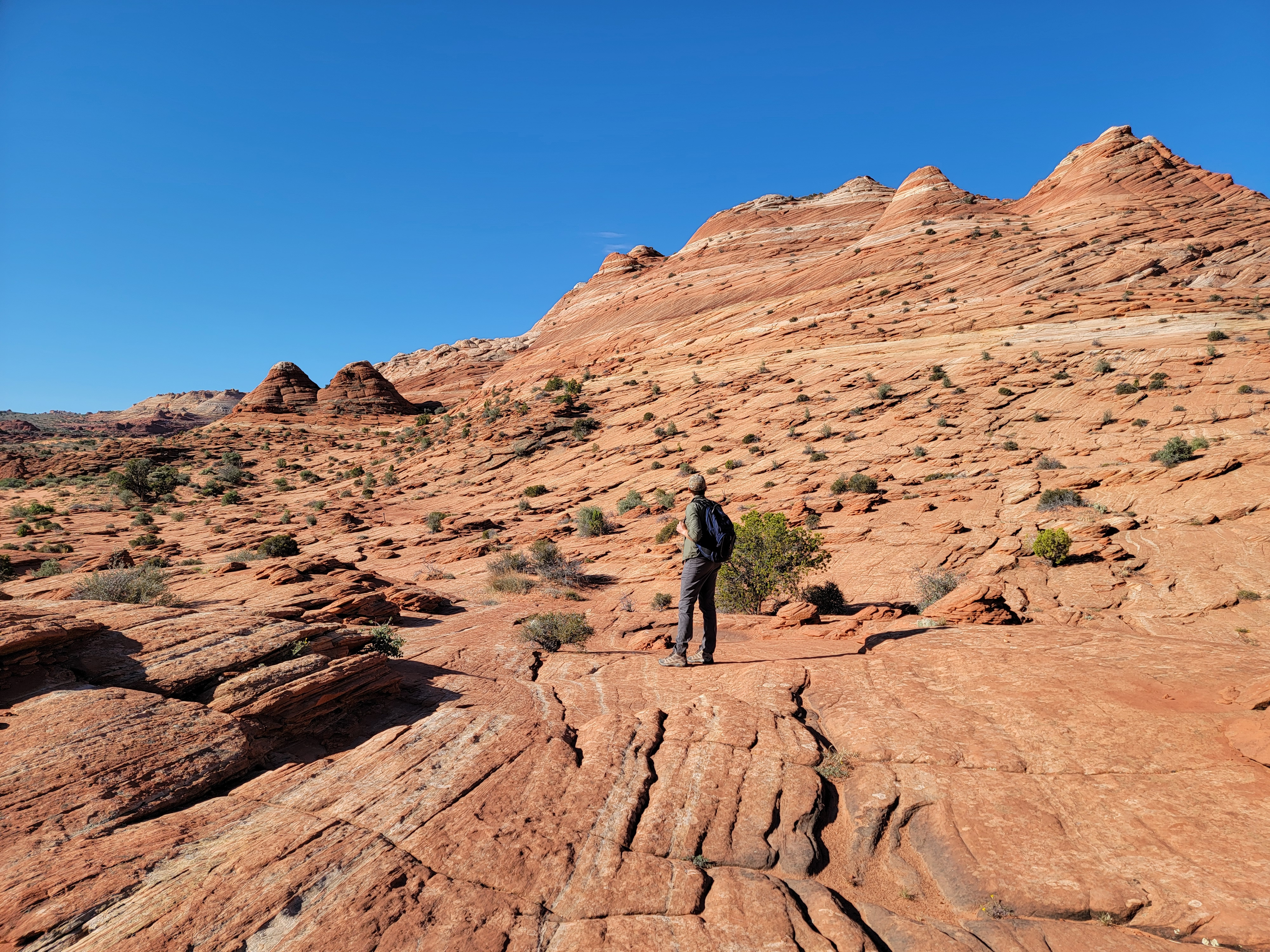 Beyond the first pass the route is across trailless slickrock
I've tried to get a permit for the past several years...and failed. I usually enter the lottery for some dates near my trips to Consimworld Expo. It's a wargaming convention in Tempe, Arizona and on the way I drive right by the access road for the trailhead. I've applied for dates that would let me do the hike on my way down to the con or on my way back, but I've never won the lottery.
Although I didn't get a permit for The Wave last year, I did get a major benefit from applying. As long as I was on the Recreation.gov website, I applied for two other permits that are difficult to get - Angel's Landing in Zion National Park and Half Dome in Yosemite National Park. I was lucky enough to get a permit for Half Dome, and I did the climb last June. It was far and away the highlight of my hiking season last year. Amazing as that was, I still very much wanted to do The Wave, so I applied again this year. And this time, I finally got a permit.
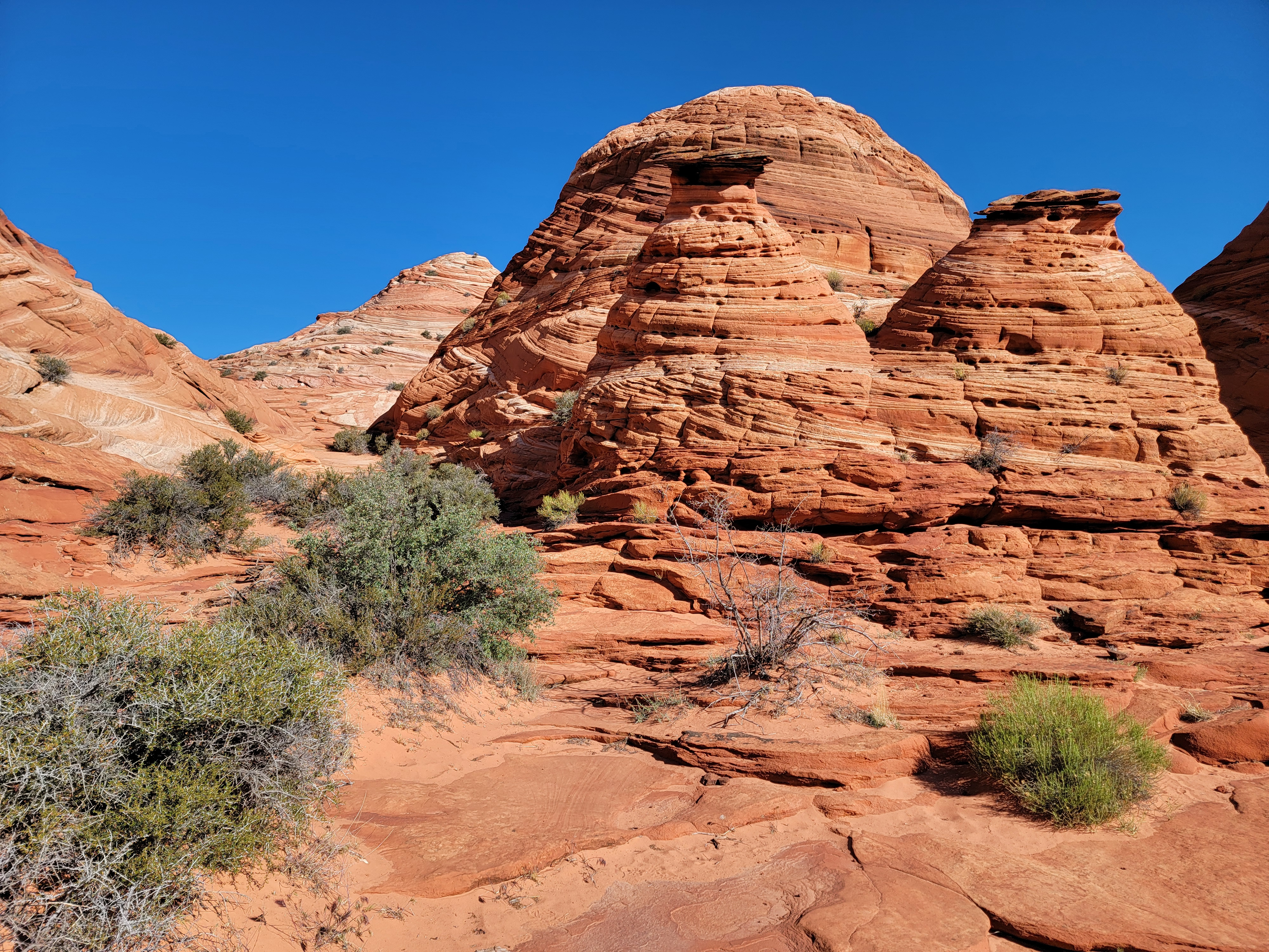 Unusual rock formations on the way to The Wave
I thought that Sandy might want to go too so I put in a party of two. After I got the permit, it turned out that the timing didn't work for her and she wasn't able to go. That left me with a (highly coveted) open spot on my permit. I talked to my sons, Tim and Mickey, and asked if one of them wanted to go. I didn't expect either of them to take me up on it, because neither do much hiking. Mickey declined immediatly. Tim surprised me by saying he would like to go. The bucket list nature of hiking The Wave, doing something that not many people get to do, appealed to him.
Since he was coming all the way to Boise, and then we were driving all the way to The Wave, we allocated four extra days for driving and for additional hikes. He had never been to canyon country so I wanted to plan a trip that would give him a good appreciation of it. With only five days, including driving, I really agonized over what places to visit and which hikes to do. My earlier posts described what I finally decided on, our hikes in Capitol Reef National Park, in Grand Staircase-Escalante National Monument and in Bryce Canyon and Zion National Parks. We had four great days and had done some excellent hikes and seen a lot of beautiful scenery. Now for the climax of our trip, we would do The Wave.
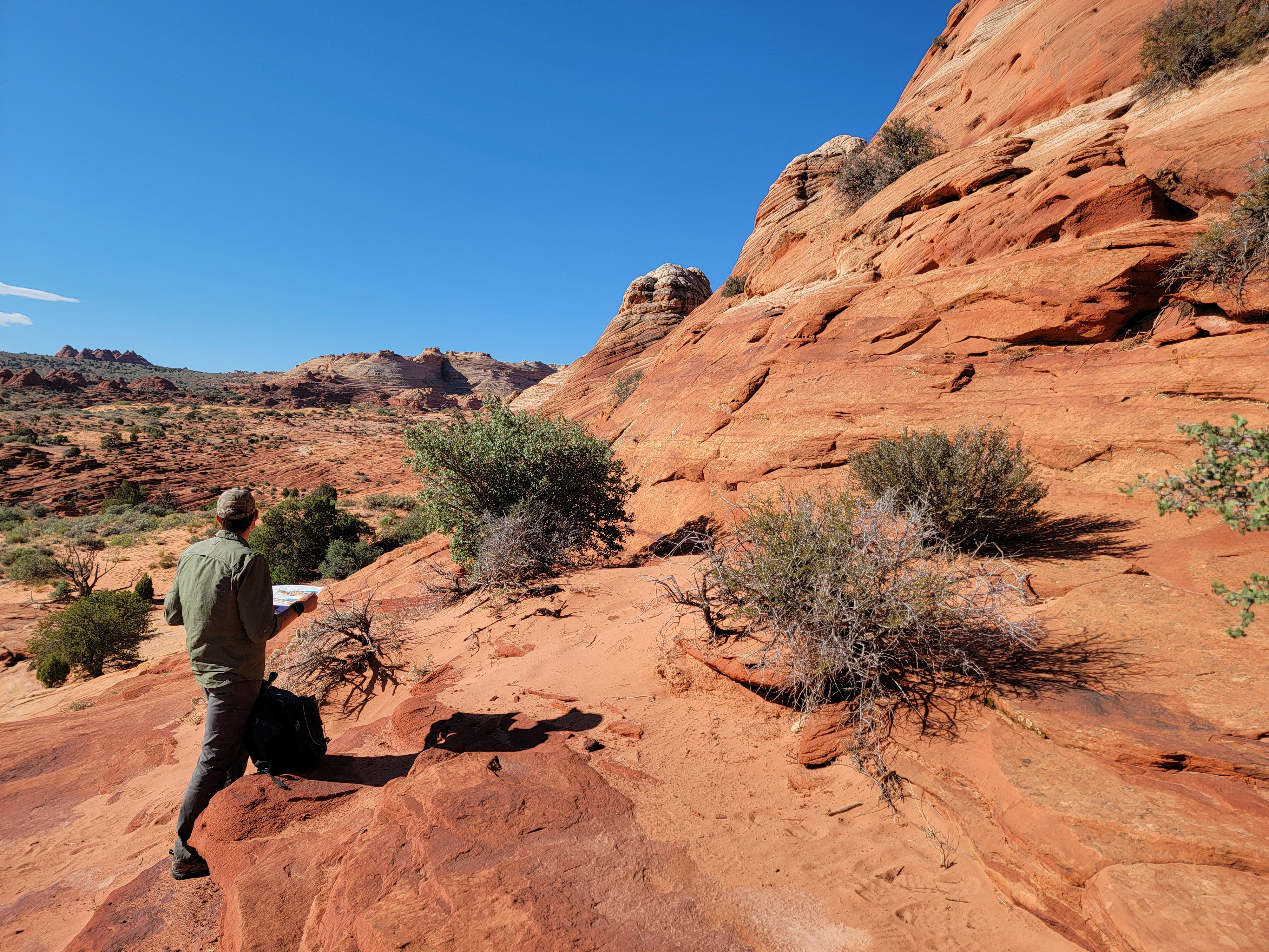 Tim checks the map to figure out our route
We packed as much as we could the night before so we could leave early the next morning. In summer, it's essential to get an early start to beat the heat, but that wasn't our worry. It was May so the temperatures were still mild. We wanted an early start because we planned to drive back to Boise right after we finished the hike. With an eleven hour drive to get home, we wanted to be on the road early enough that we would get back in time to at least get some sleep. Tim had committed to visit his mom the two days after we got back, which was appropriate since Mother's Day was this coming weekend.
It took an hour to drive to the Wire Pass Trailhead. The final access road, which we had heard so much scary stuff about, that it could be totally impassable if it was wet, turned out to be a good dirt road. It was easy. My Suburu didn't even break a sweat. There was a huge lot at the trailhead, so finding a spot to park was no problem either. There were even pit toilets, nice bathrooms by backcountry standards. We made sure to use the facilities because we heard that the terrain was very open along the route. There were no trees, bushes or rocks to hide behind to get privacy.
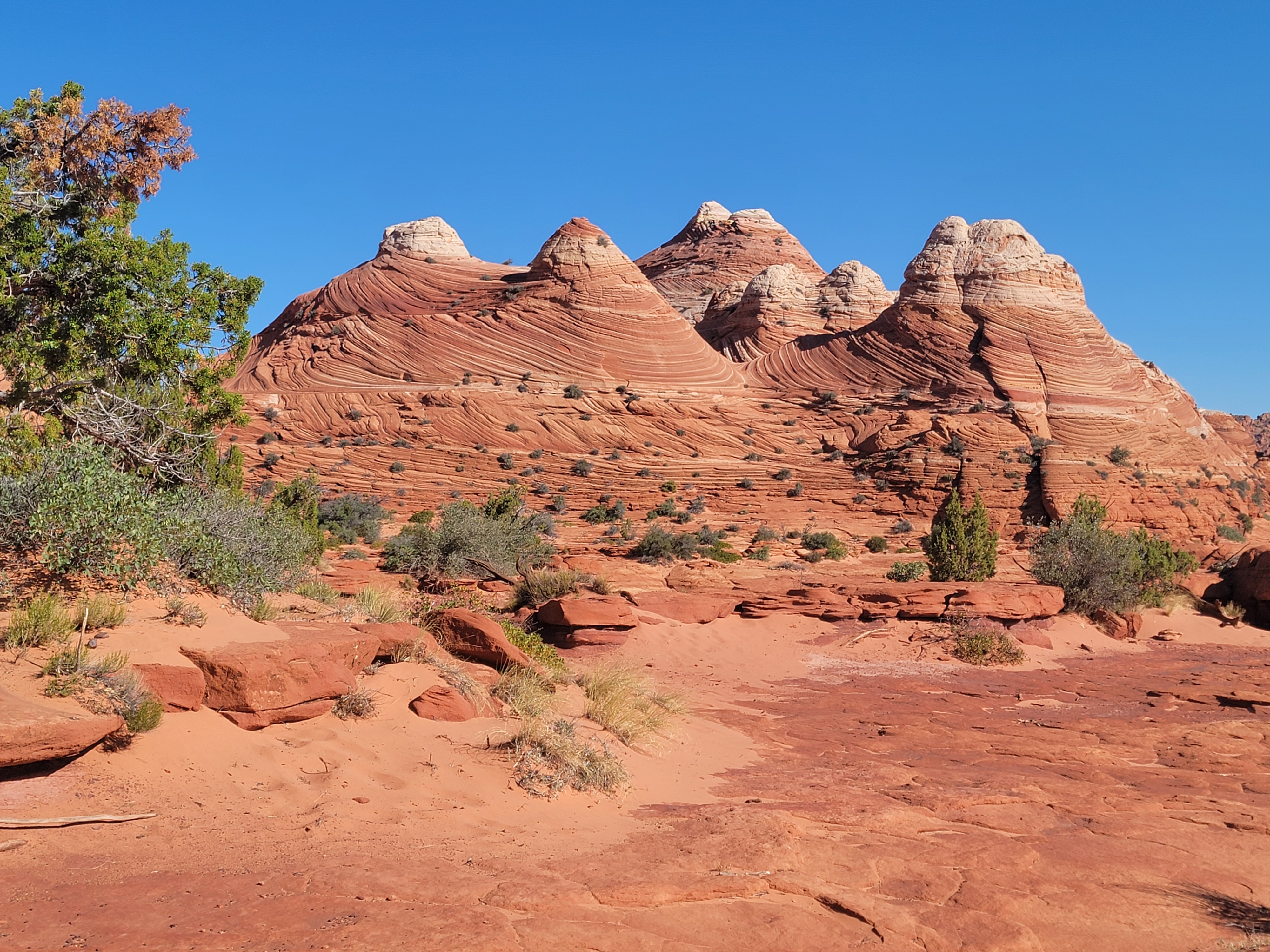 We pass more amazing rock formations
Before starting off, I attached the permit to the outside of my pack. I had received it in the mail after I won the lottery. It was a bright scarlet color, and had a metal grommet along with some fine wire to attach it to the outside of my pack. It would be easily visible, even from a long way off. It could be checked from a distance, without my knowing, by rangers enforcing the permit system.
Included in the mail with the permit, the BLM also sent me a brochure with a map and directions on how to reach The Wave. That's because there isn't a trail. It's mostly a cross-country route and it isn't marked. That's on purpose. The BLM wants to limit the number of people who go to The Wave, and they don't want to count on the good nature of people to obey the rules when they don't get a permit. Directions on how to get to The Wave are not publicized. The map and instructions that I received in the mail are not posted online.
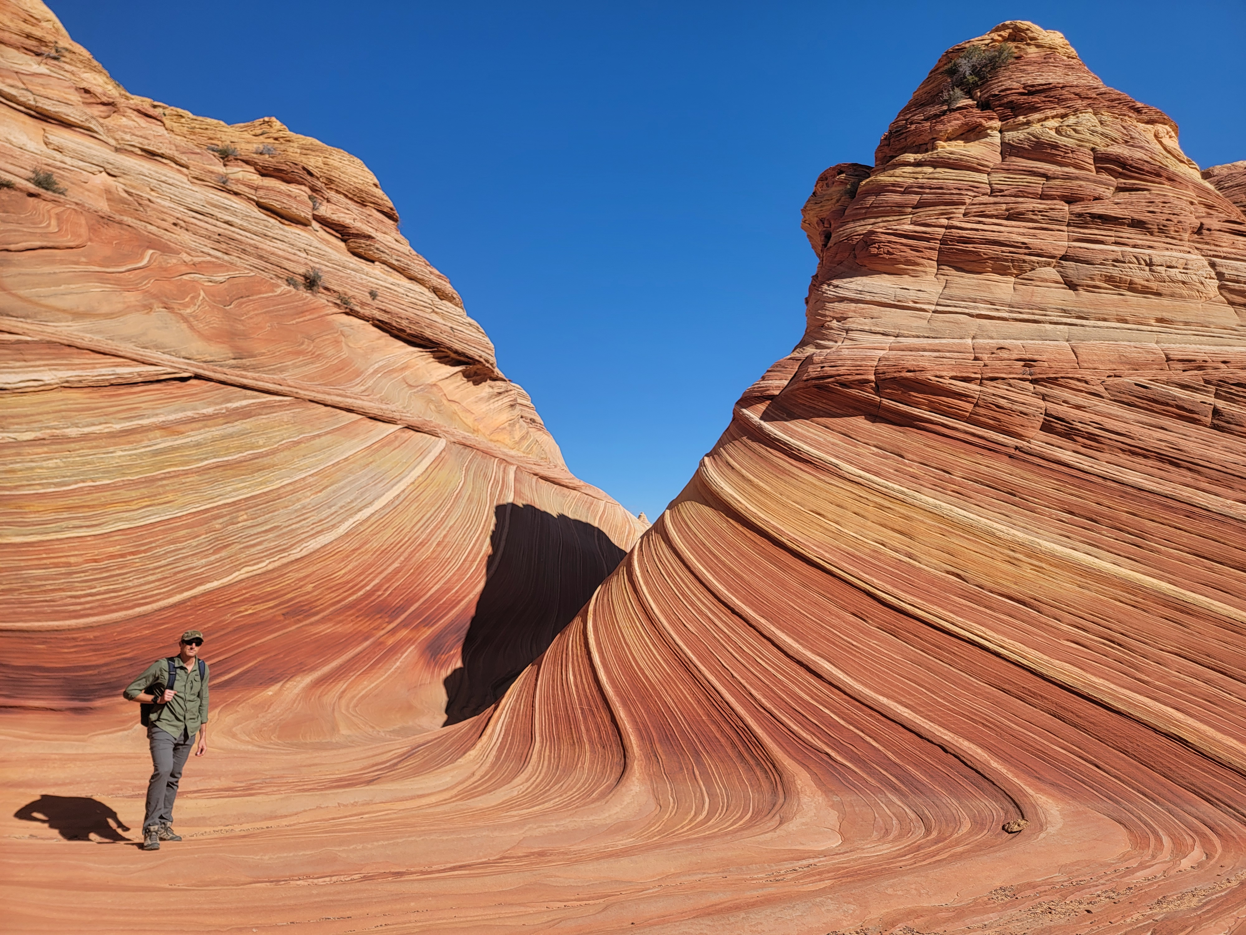 Tim at The Wave
There were also about a dozen photos in the brochure, taken from various points along the route, to help hikers find their way. After several days of trudging along on well marked trails, Tim was excited about doing some real land navigation. I was happy to give him the brochure and let him lead the way. I followed behind. Not that I don't trust him, but I had the AllTrails map loaded on my phone and used its GPS to check that we were staying on course.
We started by crossing the road and heading down a wash. In less than half a mile, a hiker's track climbed out of the wash on the right. A sign indicated that it was for Coyote Buttes North, and that an advance permit was required to proceed past the sign. Huge fines and/or imprisonment were threatened for continuing without a permit. We had ours firmly attached to the outside of my pack and clearly visible, so we turned right and headed up the track.
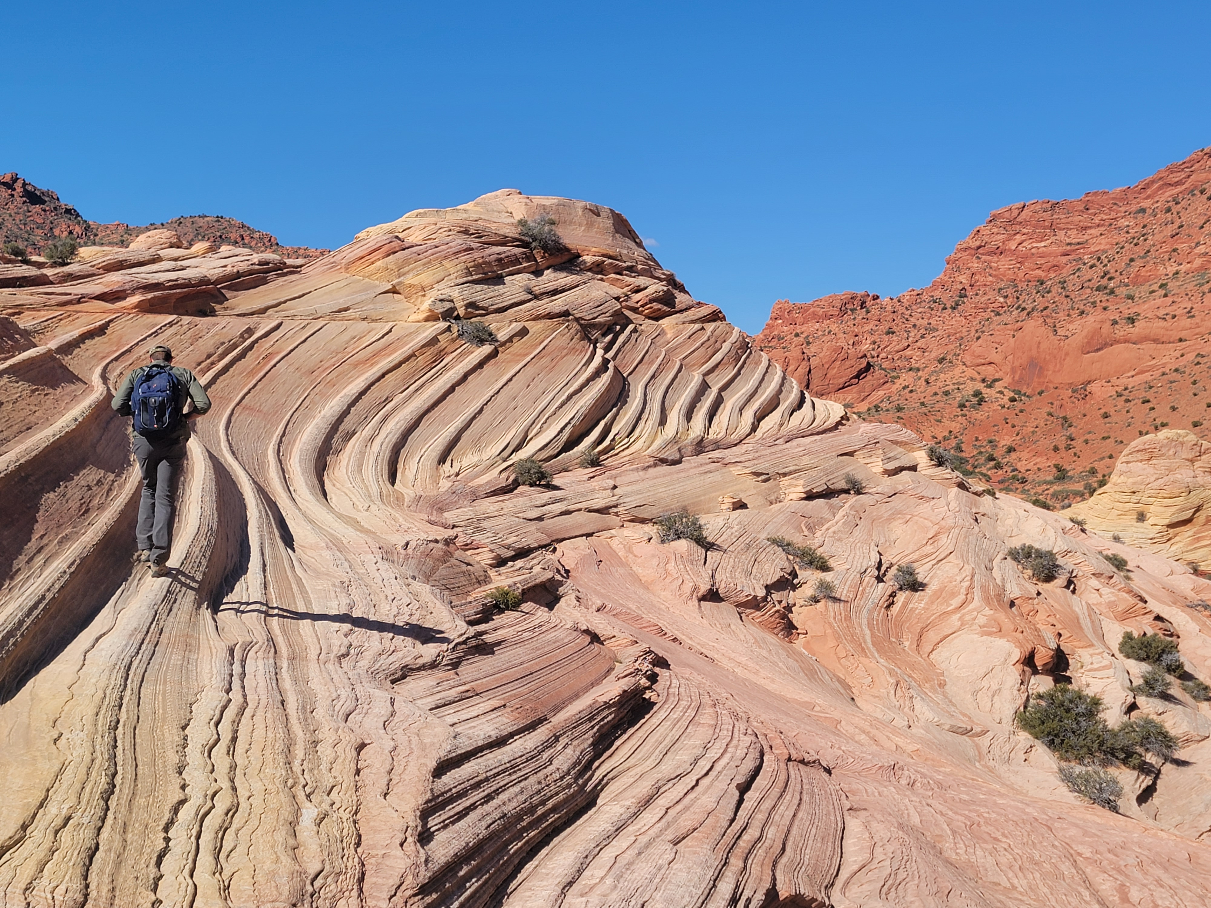 Crossing the Second Wave - cool, but not as cool as The Wave
From where we turned off, the wash continues another mile or so to a slot canyon, which then leads to Buckskin Gulch. The slot canyon hike is very popular, which is why the parking lot at Wire Pass Trailhead was so large. From the descriptions I had read, the trip through the slot canyon to the confluence with Buckskin Gulch sounded pretty cool. As we turned out of the wash, I was silently resolving that I would come back here at some future time to do that hike. But today, we had our permit for The Wave, and nothing was going to take precedence over that.
After a short climb, we emerged onto a large, flat area of sagebrush-covered desert. It was bounded on the east and south by a sandstone ridge. The brochure told us to head southeast towards a low point in the ridge where we could cross over it. An obvious hikers track was easy to follow and led us right to the saddle. It made navigation easy, but it didn't make walking easy. The track was deep sand and it was like walking on a beach.
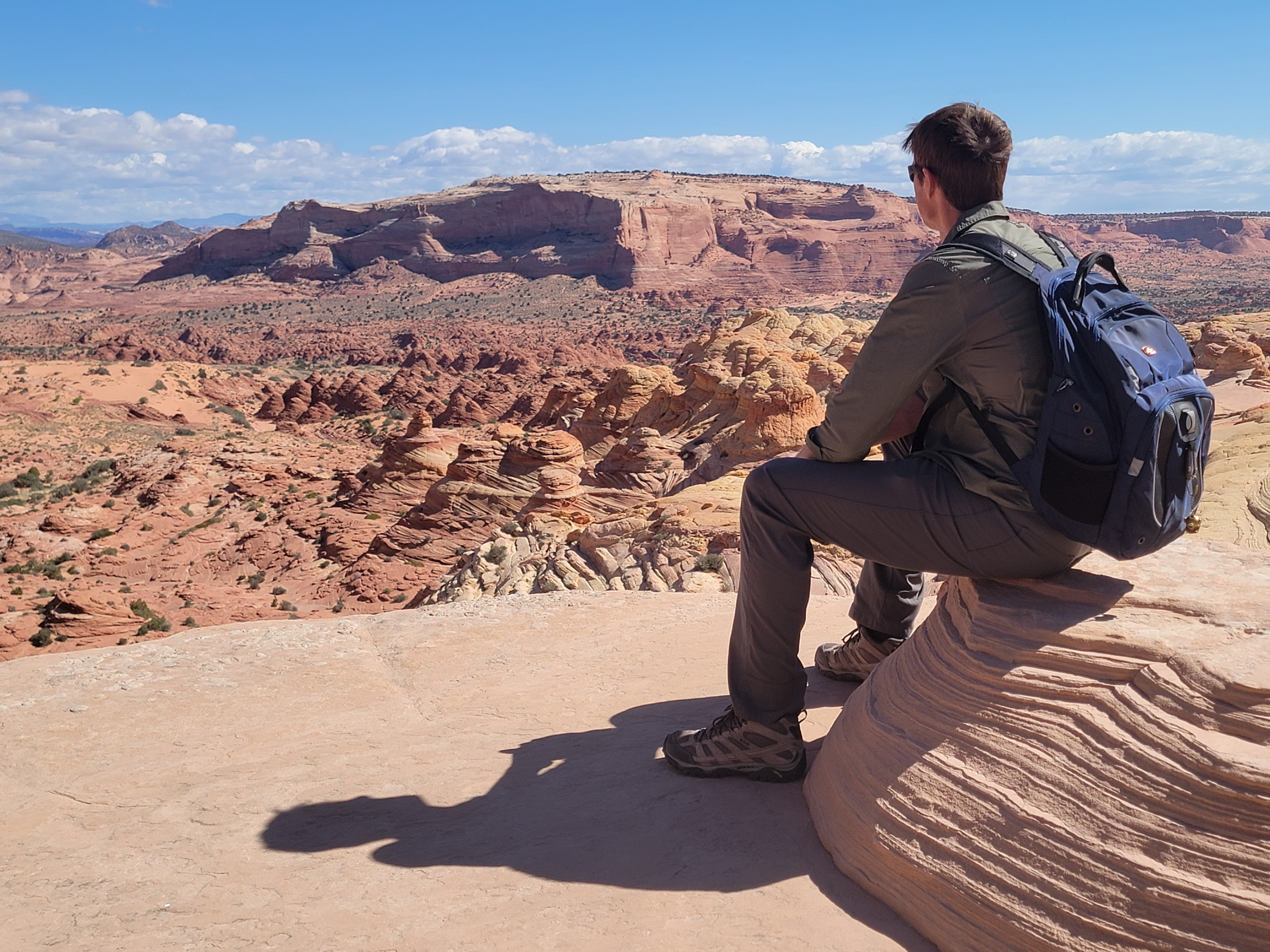 Tim admires the view from above The Wave
About three quarters of a mile from where we left the wash, we reached the base of the ridge. We stepped out of the sand onto the rock. We would be on slickrock pretty much the rest of the way to The Wave. It was a lot more fun than the sand.
After crossing the saddle to the other side of the ridge, we turned south. From here on there was no trail. There was a sign or two makring the route, but not really enough to get you there. There were huge gaps in between signs. The BLM brochure gave us landmarks to navigate by and Tim did a good job of plotting our course using that. We traversed across low-angle slickrock slopes near the base of the ridge. Eventually, about three miles from the trailhead, we crossed another sandy wash and climbed a sandstone slope. There was a small gully that went straight up but it had a lot of loose sand over the rock that made it very slippery. From descriptions we read, it sounded like most people went straight up the gully, but it was steep enough that we decided to go to the left and climb up and over a series of ledges. It was a few more steps, but it felt a lot more secure.
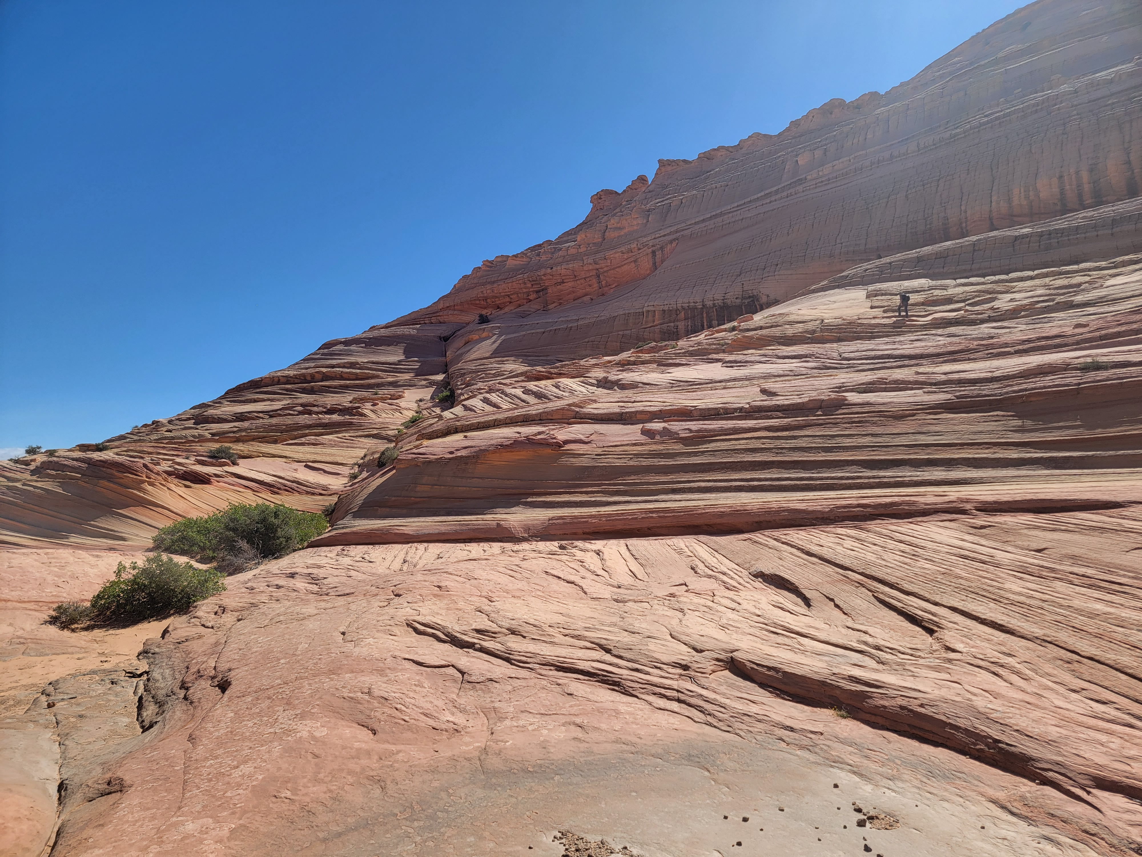 Tim explores the rocky slopes high above The Wave
Just as we reached the top of the slope, a guy approached us. He said he was a volunteer and was checking to see that we had our permit. He said that he wasn't enforcing the restrictions, but we noticed that he had a radio on his belt. We had read that there are BLM rangers around to enforce the permit requirement, but that they usually stay out of sight. Even from a distance they would be able to spot the required permit, or its absence, on the back of my pack. Or volunteers like this guy could contact them by radio if they encountered someone without a permit. This was the only time we were checked though. Online I had read some accounts of people being checked two or three times for permits. Still, it was clear that the BLM is serious about enforcing the hiker limits. When we got to The Wave it was easy to see why. And after leaving the volunteer, it was just a few more steps. We turned a corner and there we were, at The Wave.
I'd seen a lot of pictures of The Wave. The reality of it is far more impressive than the pictures. The curving layers in the rock are just surreal. It does indeed look like waves frozen in rock. As you look at it, you can't help wondering about the conditions that caused the formation. But mostly, it's just really beautiful.
 The intrepid hikers pose at The Wave
One thing that did surprise me is how small it is. The Wave is only about as big as my house, maybe smaller. It's just one small groove cut into the side of a huge mass of stone that rises above the valley. Of course, people in The Wave take photos from evey possible angle, in every possible direction, and they all look different. Seeing all those photos, I imagined it would be a much bigger portion of the formation that it sits in. But it is actually pretty small. That doesn't detract from the fact that it is really cool. It does help explain why access is so limited. A thousand people a day would wear the sandstone down quickly and ruin the beauty of the place. Even without that, just having crowds of people there would totally change the experience. While we were there, only about half a dozen other hikers were in the area. It was possible to get views, even to take lots of photos, that weren't filled with other hikers photobombing your shot. So even though it took me several years to get my permit, I think the system is absolutely the right thing to do. It makes the visit to The Wave that much more special when you finally get the chance.
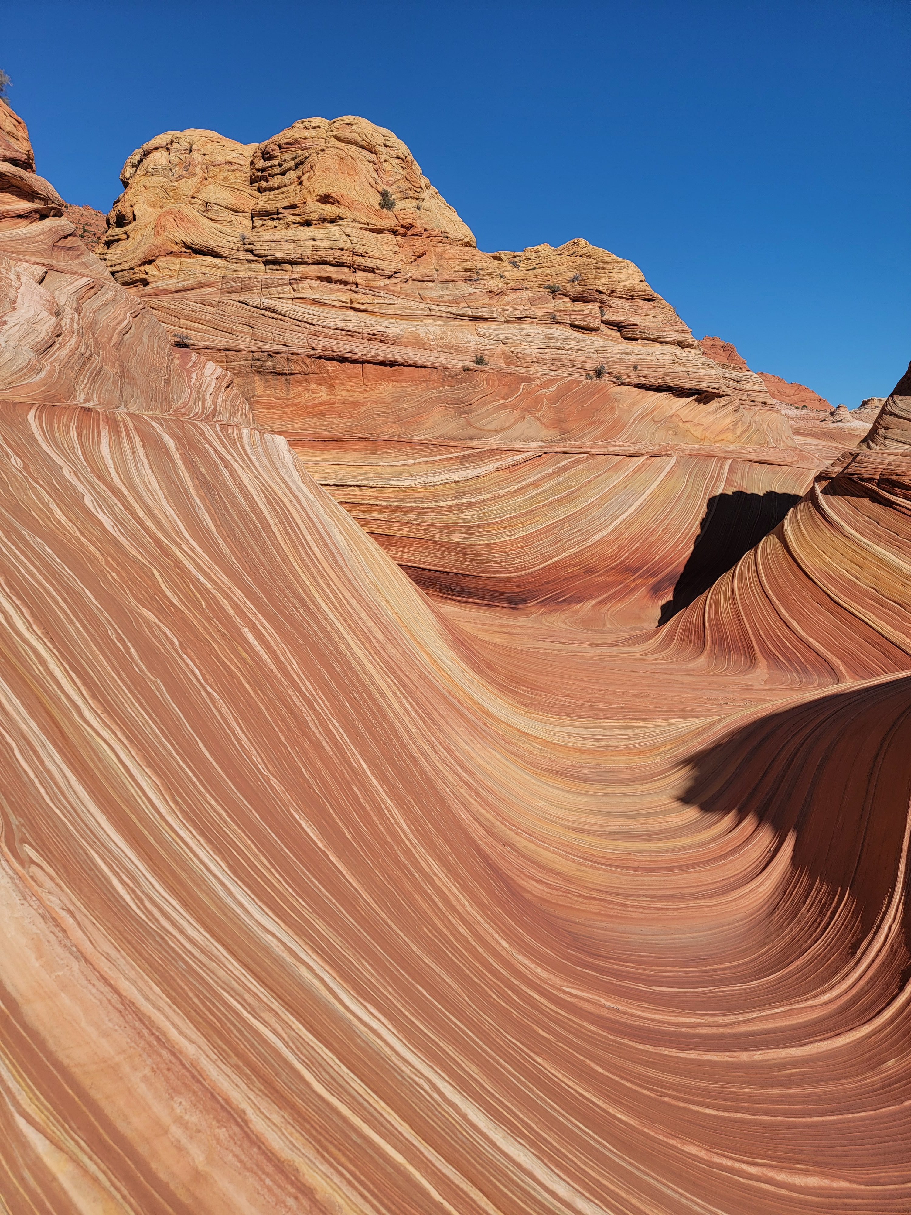 Another view of The Wave
Tim found a little side canyon that we explored. Then we climbed above The Wave and took photos looking down. We kept climbing, continuing to a formation known as the Second Wave. It was cool, but after the original Wave, not nearly as impressive.
Tim climbed even higher, looking for a weakness in the slabs above that would give us access to the upper portion of the rock formation that we were on. From what I have read, there is some cool stuff up there, at least one arch and some other unique rock formations. Tim was excited about exploring and I would have been too. Unfortunately that would have been very open ended from a time perspective. It was still early in the day, so normally that wouldn't have been a problem, if we were just driving back to Kanab and staying in a hotel there.
But Tim had committed to spend the following day visiting his mom. We had to keep in mind that after we finished our hike, we had an eleven hour drive back to Boise. To that we had to add any time that we took to stop and eat dinner along the way. I have no problem with hiking all day and driving all night to get home at four or five in the morning, but that would mean sleeping most of the next day. That wouldn't work with Tim's commitment. So he only explored a short way above while I trailed about a hundred yards behind him (he had more energy than I did since I knew we really weren't going anywhere above). Then we turned around and headed back down. Next time we do this hike we'll allow enough time for more exploration.
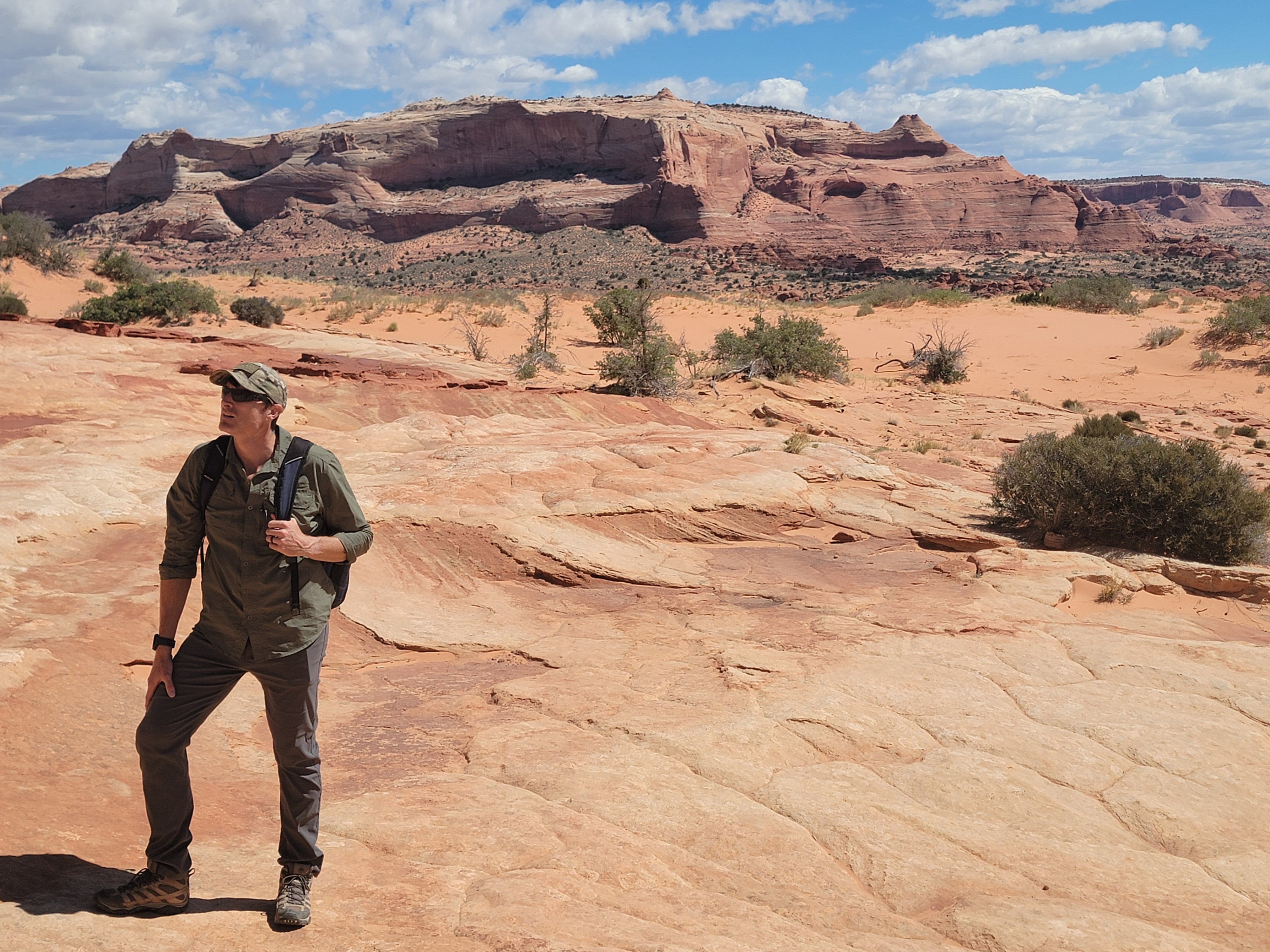 Tim looks for the saddle where we cross the ridge
When we got back down to The Wave, we met up with another group of hikers who had just arrived. They wanted us to take a group shot of them and then they reciprocated by taking pictures of Tim and I. Now we were officially documented as having done the hike to The Wave together. After that we took one more look around. Then it was time for us to head back.
From what I have read, most of the people who get lost on this hike do it on the way back. People expect it to be easy because they found the route on the way in. They aren't focused on navigating any more. Add that you're more tired on the way back and you can understand why people make mistakes. The trick was finding the correct spot to cross the ridge. Of course Tim didn't have any trouble spotting the saddle that we had come over. Once we were over that we were off the slickrock. We could go on autopilot and just follow the sandy track all the way back.
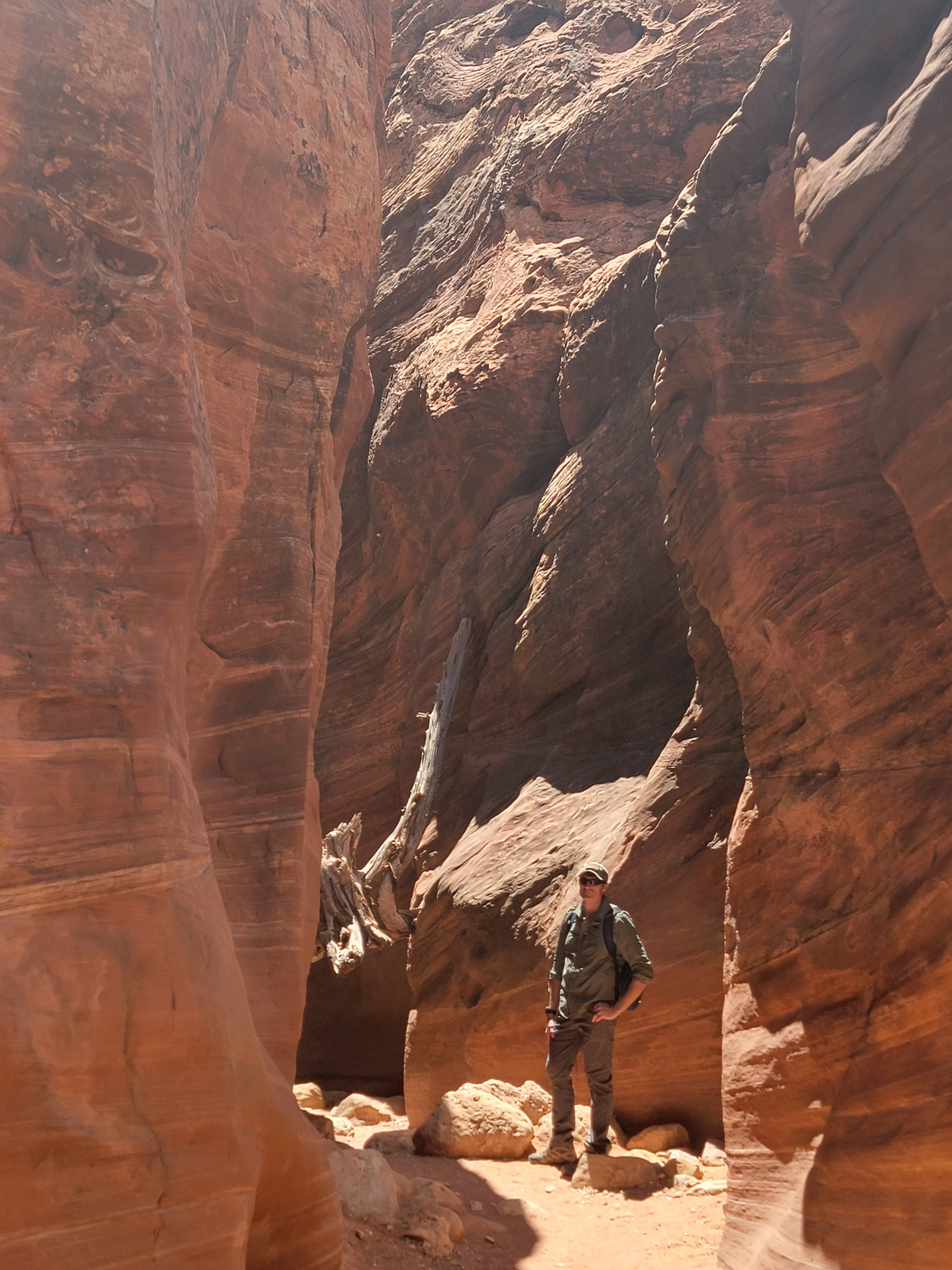 In Wire Pass slot canyon
We were fortunate on our hike because the temperature was reasonable. It was warm but not hot, and there was a good breeze the whole time. In July and August the trip to The Wave can be brutal because there is no shade anywhere on the entire route. I actually still felt pretty good on the hike back.
About a half mile from the trailhead, just before we dropped down into the wash that we had started in, I started to think. The Wire Pass slot canyon really wasn't very far, and the canyon wasn't very long. It might be a long time before I got back here.
"Hey Tim. You got a really good intro to canyon country on this trip. About the only thing you didn't get to do, because we got rain that one night, was a slot canyon."
"Yeah, that's about the only thing I missed."
"The one at Wire Pass isn't very far from the trail junction just ahead."
He immediately perked up. "You up for it?"
"Absolutely. Let's do it!"
So in a few minutes when we reached the junction with the wash, we turned right toward Wire Pass and Buckskin Gulch instead of left towards the trailhead. It wasn't very exciting for about three quarters of a mile. Then rock started to rise on the sides of the wash. We reached a sign that said "Wire Pass" with an arrow pointing to a trail that led up and out of the wash. We were just about to go up it when we saw a couple of people a bit further down the wash disappear around a rock. That looked like a dead end, and we definitely wanted the Wire Pass slot canyon, but we went to check out where they were going. Sure enough, that was the very begining of a slot canyon. The trail was a bypass for the canyon. Exactly what we didn't want. We almost screwed up. It shows you what can happen when you add on something that was unplanned. We hadn't read up to find out that we did NOT want the Wire Pass Trail.
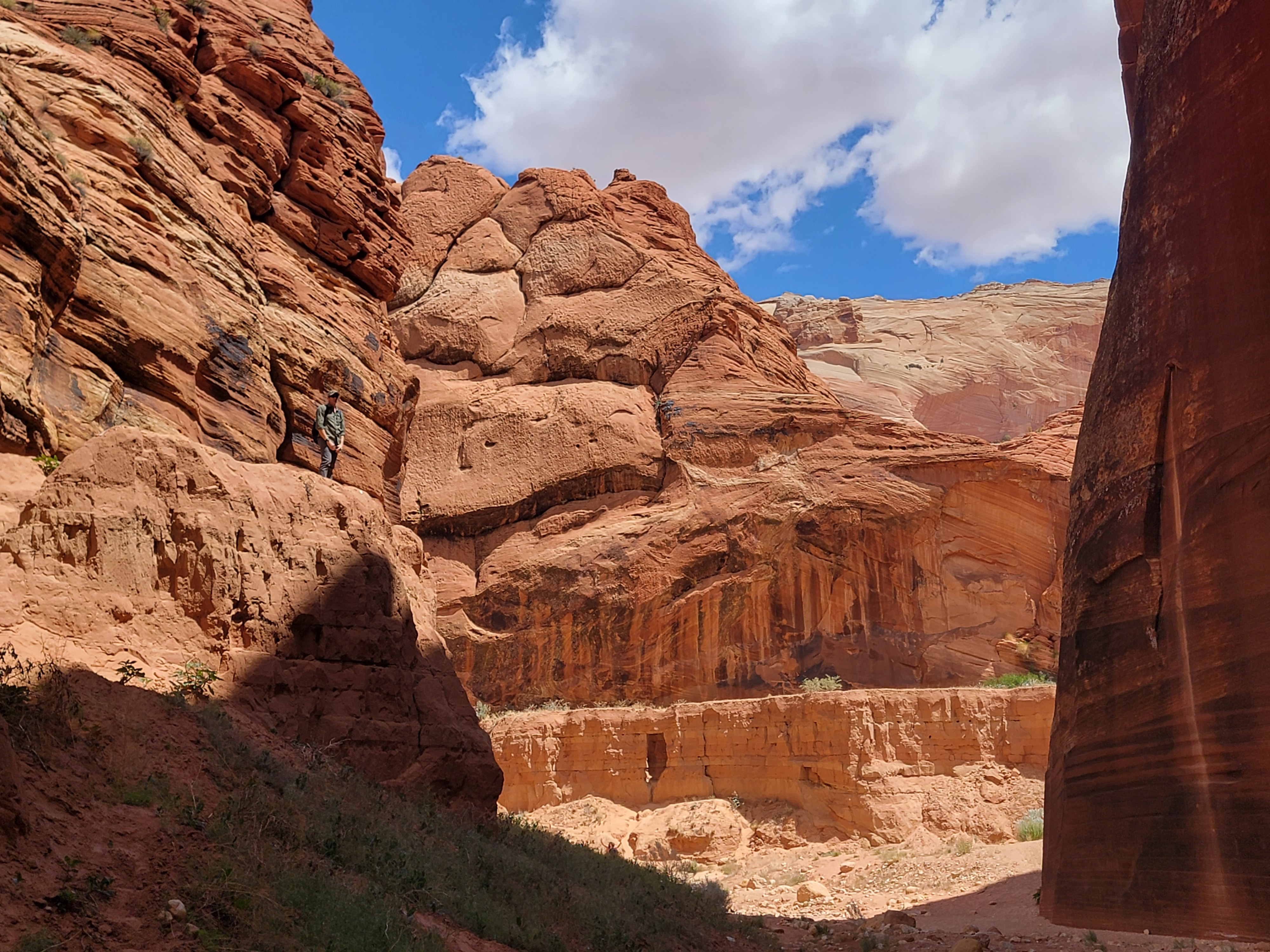 At the confluence with Buckskin Gulch
Pretty soon the walls were about ten feet high on each side. I tried to get some pictures of Tim but they didn't work out. There was a family with kids just ahead of us who kept playing on the rocks and never got out of the way. I was a bit frustratedd but it turns out I needn't have been. After we passed them, it was only a little further before the walls got much higher and started to close in. Now we had entered the real slot canyon.
There were two different sections of slot canyon with a short open stretch between them. It only took about ten minutes to go through both. There were a couple of obstacles. A tree was lodged at one point, and you had to either crawl under one side or climb over it on the other side. I took the high road while Tim took the low road. There is one major obstacle in the second section - an eight foot drop. There was a sturdy wooden ladder in place that made it easy. From reading various accounts, some years the ladder is washed away by floods and a rope is required to get past the drop. Fortunately we didn't have that problem.
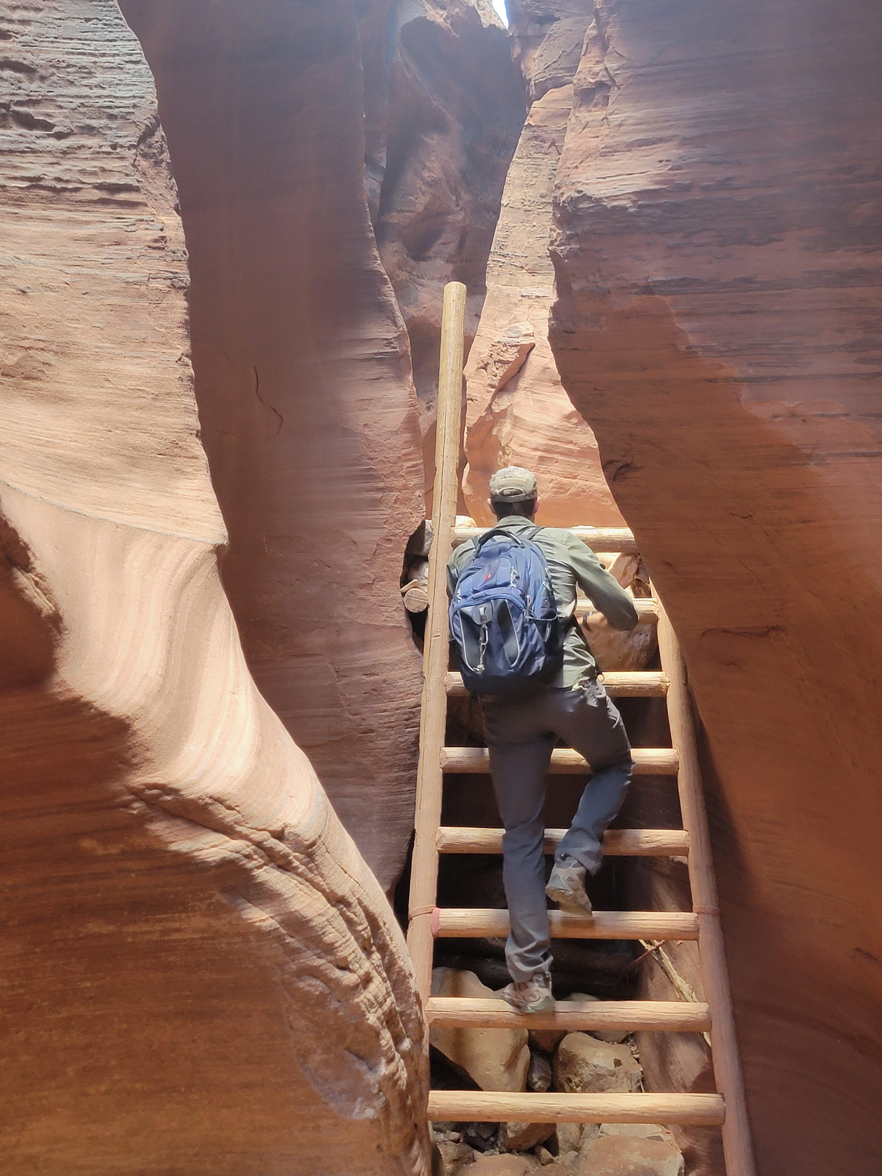 Tim climbs the ladder up the eight foot drop
It was less than half a mile before we reached the confluence with Buckskin Gulch, twenty miles long and perhaps the deepest slot canyon in the world.. Traveling the length of Buckskin Gulch is either a backpack or a very long day hike. It's a serious hike too. There are a lot of obstacles, and pools of water are very common. We weren't up for that today. This was our turn around point. But the confluence was an impressive place. I'm sure that doing the whole canyon would be amazing, but that would really have to wait for another trip.
Going back through the slot canyon again was fun. We were especially glad for the ladder to climb up the eight foot step. At the tree obstacle, a lady had stopped and watched two other hikers go over. We offered to let her go next but she said she still wanted to watch how people did it before she tried. We repeated our approach, where I climbed over and Tim ducked under. She was still hesitating, so I ofered to spot her. She declined, but said "Hey, this is tough for me. I'm 65!" I held my tongue and didn't tell her that I was 72.
Pretty soon we were back at the car. It was still early afternoon so we were hoping to get back to Boise at a reasonable time. We stopped to eat at the Thunderbird Restaurant in Mt. Carmel Junction, famous for their Ho-made pies. I passed on the pie but Tim tried a piece and said it was good. Then we just had a long drive back, which was uneventful. There were two of us so we could split the driving, a luxury I don't have on hiking trips by myself. Since we are both Rush fans and they are doing their first tour in over ten years this summer, we spent most of the drive home listening to Rush albums.
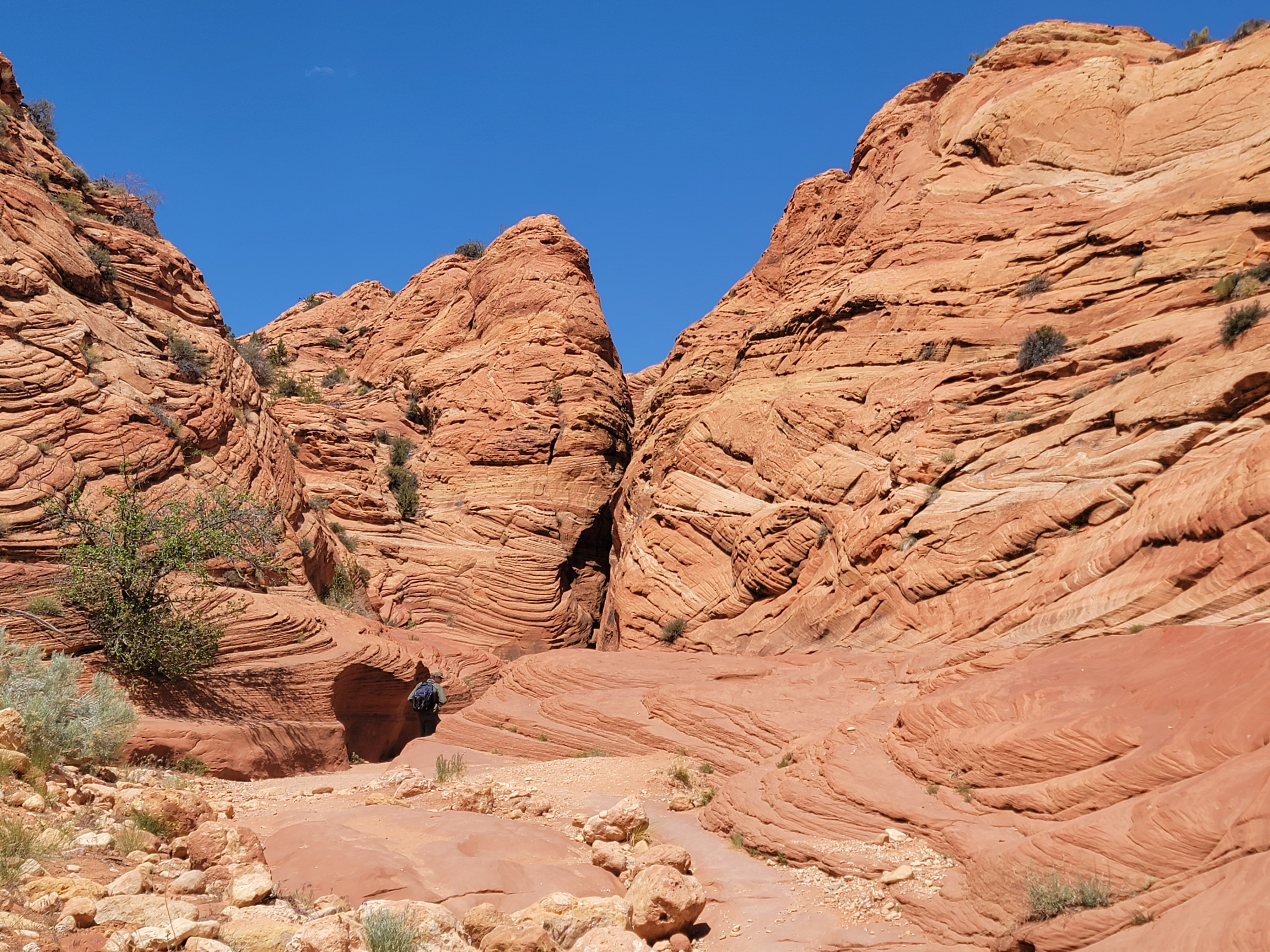 Tim disappearing into one of the sections of slot canyon
Next morning Tim, Sandy and I went out for breakfast. Since it had been very late when Tim first arrived in Boise, and we had left early the next morning, he hadn't had a chance to see Sandy before this.
After breakfast we sat out on our patio since it was a beautiful day. We made up, er, I mean we told lots of stories about the difficult, death-defying hikes we had done on our trip. Finally about two in the afternoon Tim headed over to his mom's house for a visit with her.
All in all, I thought it was an excellent trip. I thoroughly enjoyed it. I think Tim did too, and that he got an excellent sampling of the spectacular hiking in Utah canyon country. Hopefully he'll want to come back and do another trip next year. I am already compiling a list of exceptional hikes that we could do. Grand Canyon rim to rim. Peekaboo and Spooky slot canyons. Angel's Landing. The Narrows. Give me time and I'm sure I'll think of a lot more.
