Vancouver Island - Ripple Rock Hike
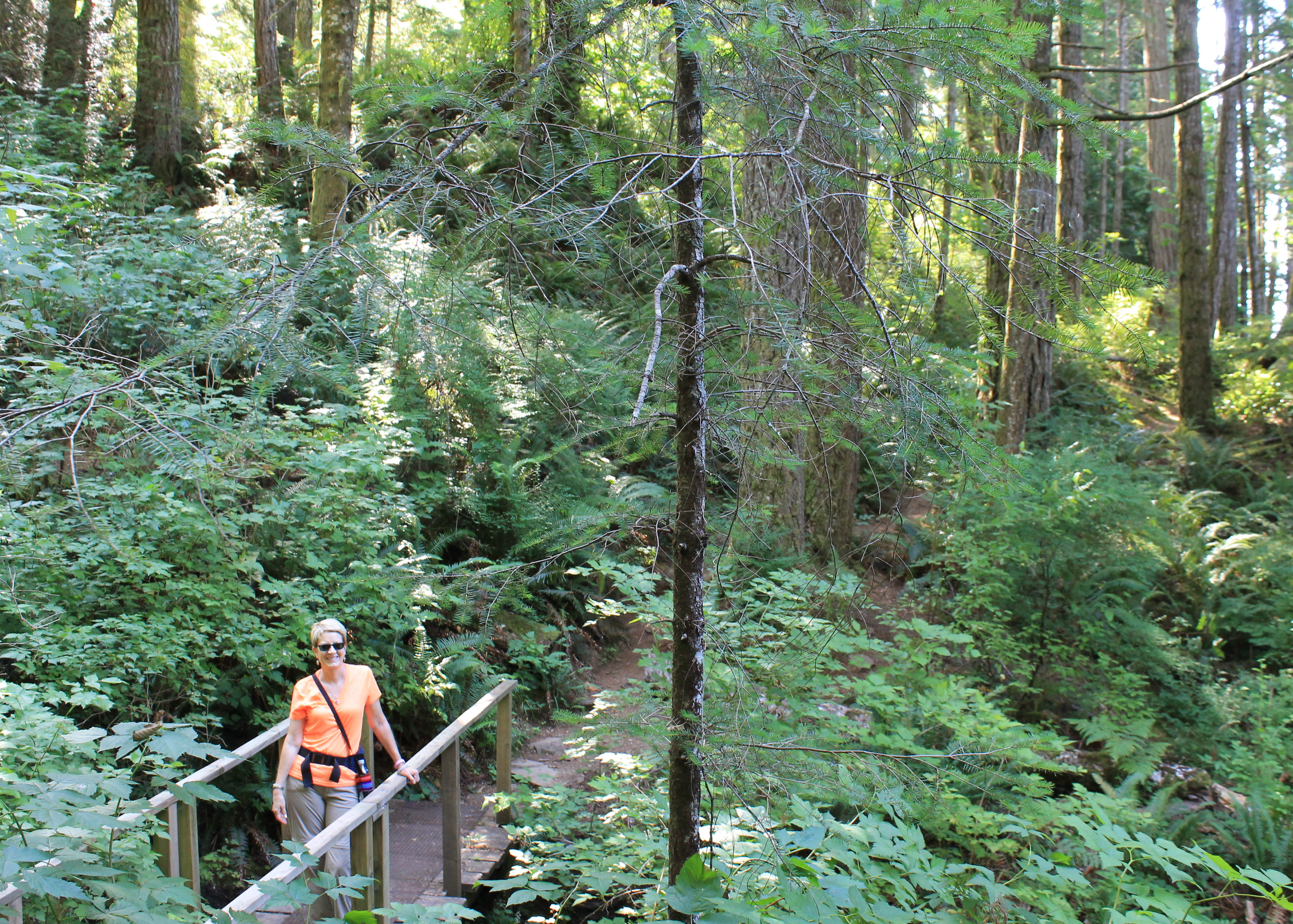 Hiking through dense rainforest on the way to Ripple Rock
After our hike to Bedwell Lake we had one more night at Strathcona Park Lodge. The next morning at breakfast we discussed what to do. One option would be to drive back into Strathcona Park and do another hike there. But that was heading the wrong way. We had to drive back to Campbell River and then down to Courtenay where we would be staying next. We had some more suggestions for hikes in Strathcona from the lodge staff but they were longer and harder than the hike the day before. The destinations were vaguer, like climbing up onto a ridge. It's not that Strathcona doesn't have fantastic scenery or great hiking. It's just that day hiking options are limited. Plus I had a hard hike picked out for the next day from the other road access point to Strathcona Provincial Park, Paradise Meadows. Sandy came up with another good option that would save us lots of extra driving. She found a hike near Campbell River that was right along the coast. That would be different than what we had done the day before and what we had planned for the next day so we both thought it was a good choice.
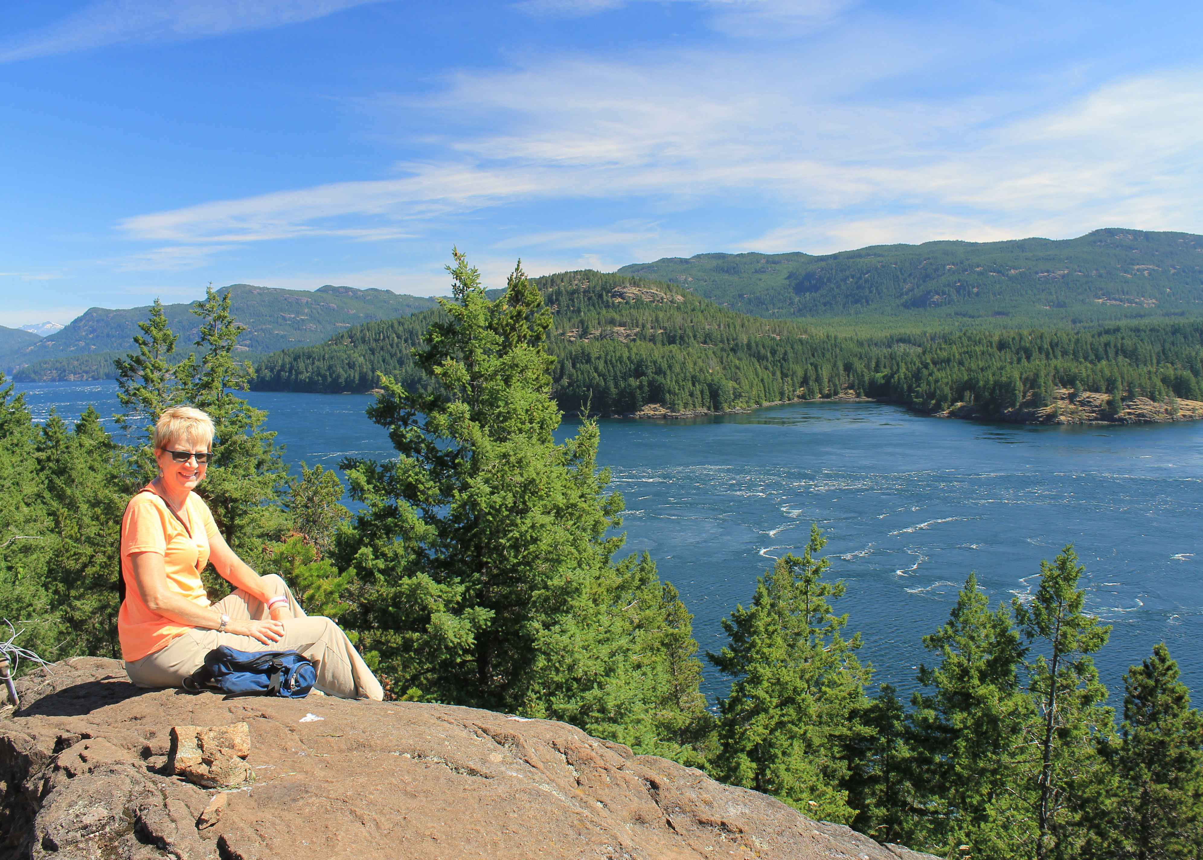 Looking out over Quadra Island and Seymour Narrows
We did have one bit of excitement when we drove back to Campbell River. We stopped at a gas station that was at the junction of the two main highways, the one that we came in on which runs east-west across the island, and the main north-south highway. I didn't realize that going through this part of town, they split the north-south highway into separate one-way roads. So when I made a right turn out of the gas station and drove 50 feet and stopped at the red light, I was facing a full line of cars on the other side all coming my way. Oh, oh! I made a quick right turn on the red light and got back on the correct side of the road. Damn tourists! They're a hazard. Sandy was very understanding and kept cool and calm. As soon as I turned and was going the right way again, she stopped screaming.
After that we just had a short drive of 15 kilometers. The trailhead was right next to the main highway. Definitely easier access than the day before.
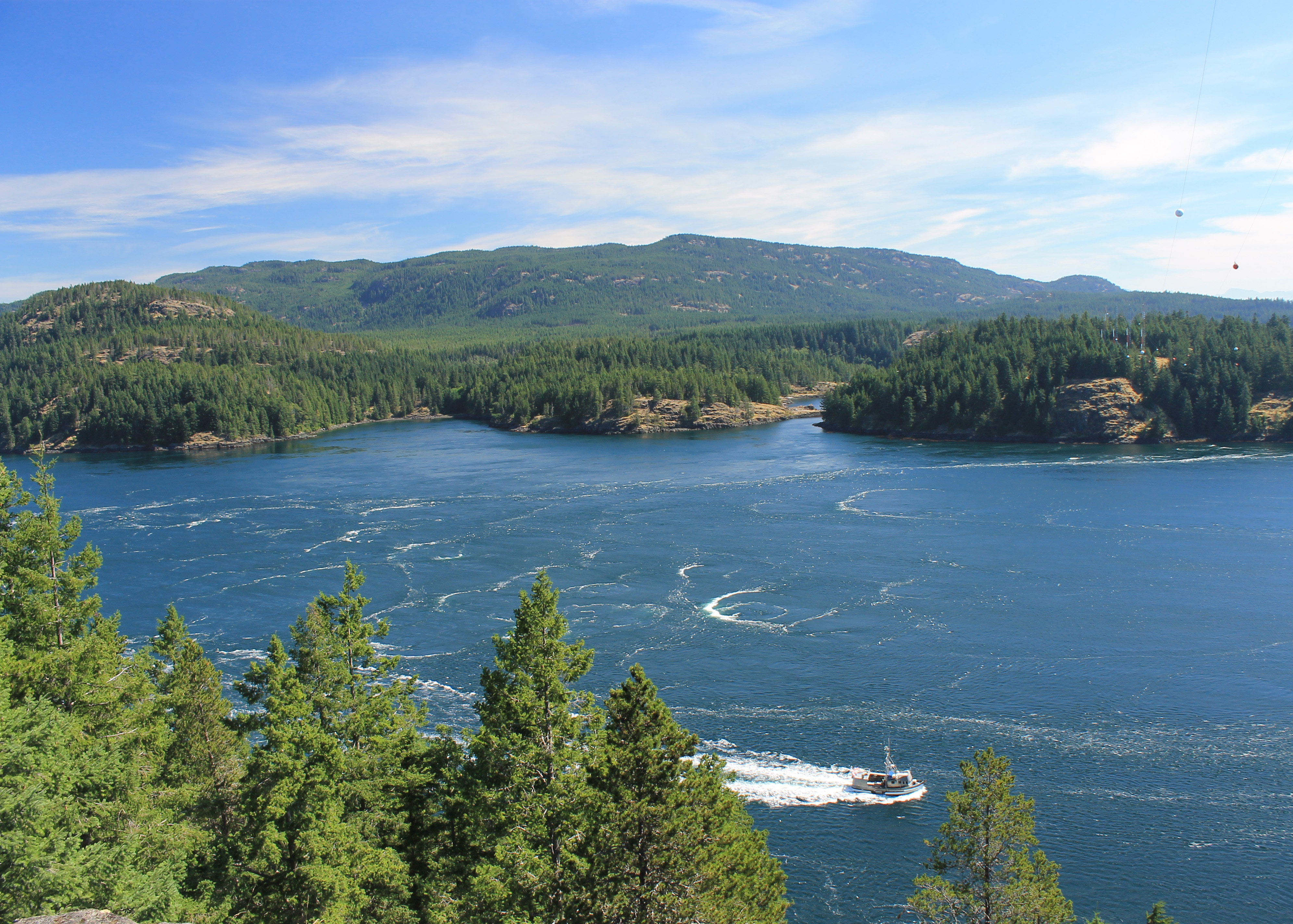 A boat passes well to the side of Ripple Rock
The Ripple Rock trail was 4 kilometers each way with only a few hundred feet of elevation gain, so we were expecting a short, easy walk. It certainly started that way, following a gravel road for the first kilometer to a bridge crossing over Menzies Creek. At that point it entered dense rainforest and generally followed the coast line around Menzies Bay. Although viewpoints were mentioned in the guide there really weren't any major ones along the way. What views of the bay we could get were spoiled by the fact that there was a large logging operation on the other side. The bay itself was full of floating logs waiting for transport. So like the hike the day before, there really weren't any significant views along the way. But the rainforest was pretty. Everything was green. There were trees, bushes, vines, moss - it seemed like every square inch was green with vegetation. There were a few old growth trees left that were impressively large.
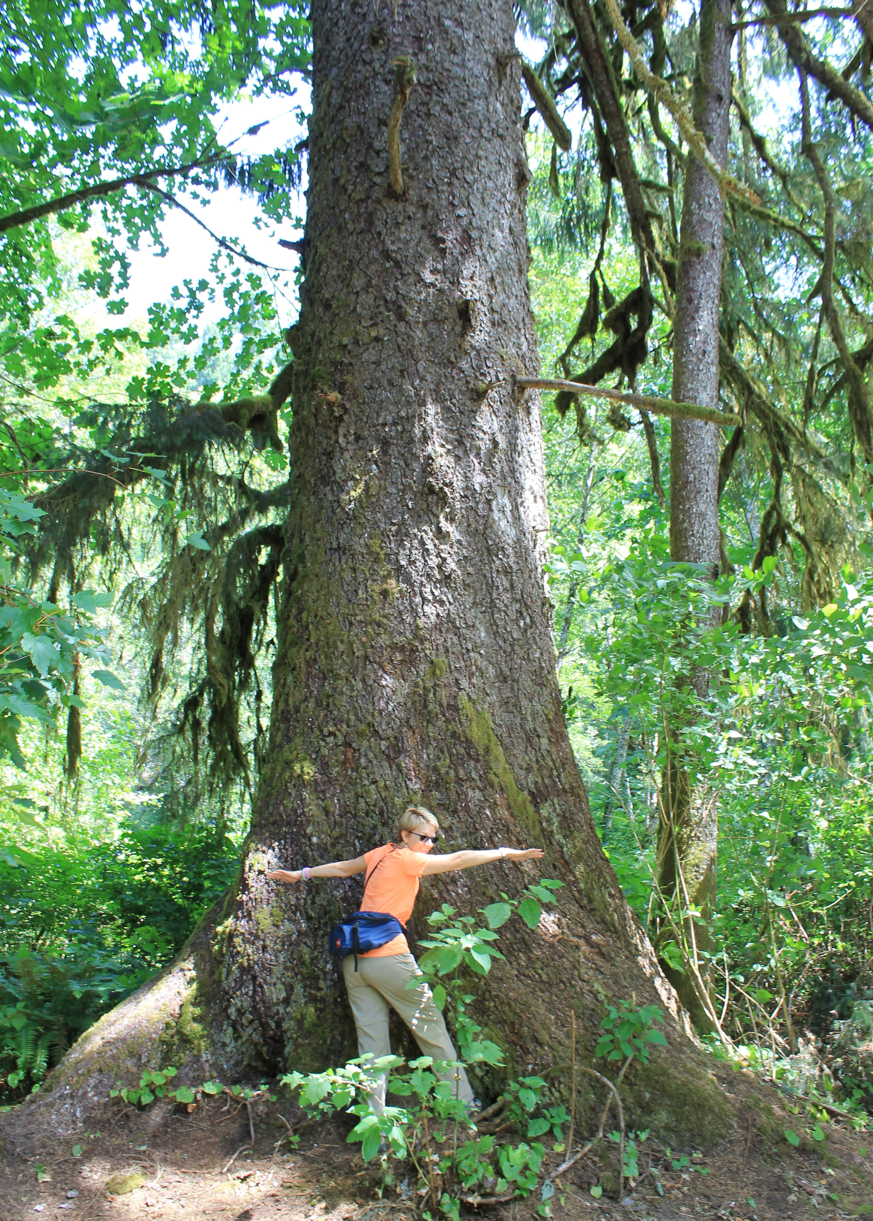 Old growth spruce and Sandy the tree hugger
Although there wasn't much net elevation gain, the trail was always climbing two hundred feet to get over an obstacle, then back down on the other side, then three hundred feet to a semi-viewpoint, then back down to a beach. It was a good workout although it was cooler today and we were in the shade so the hike was pleasant. It wasn't the steep, unrelenting grind of the day before. It took us about two hours to get around Wilfred Point and reach a viewpoint five hundred feet above Discovery Passage. It had a spectacular view across Seymour Narrows to Quadra Island. There was a strong current through the passage and swirling waters marked where the remains of Ripple Rock were hidden below the surface. Ripple Rock was an underwater mountain that was only six feet below the surface at low tide. It was a major hazard in the narrow passage for many years and caused many shipwrecks. In 1958, one of the largest non-nuclear explosions in history removed 600,000 tons of rock and increased the clearance to 45 feet.
It was cooler today and a strong wind was blowing at the viewpoint. Overheating wasn't a problem while we sat and enjoyed the view. Although very pretty, there was still a tall tower behind us and power cables running through the air to reach Quadra Island. Canada has so much remote country that they can be unconcerned where they do development. But around the corner looking to the northeast the view was pristine and very pretty.
The walk back took another two hours. It was the same as the walk in, except that the ups were downs and the downs were up. At one point we passed a party that we recognized. It was the two Germans who had been in the room next to ours at the Strathcona Park Lodge for the past two nights. Small world, or at least, small island.
